Every month I release my official long range forecast that gives an idea on what to expect. It is one of a kind exclusive thing only view-able within the work done on the site. It can tell you the warm/cold periods, rain/dry periods, and sometimes even tropical system track probabilities. August 2017 is going as projected but can we look ahead to September, and the start of Meteorological Fall is two weeks away. Read on for details.
A ridge of high pressure is not prominent over the region. On July 24th I released an article to premium members only and then the public a week later. The article (Click Here To Read It) clearly showed the August would have mainly colder than average periods, especially the last two weeks of the month. It furthermore started that most of the monsoon activity would remain the beginning of the month and that was so.
ECLIPSE 2017 – CLICK HERE FOR THE FORECAST
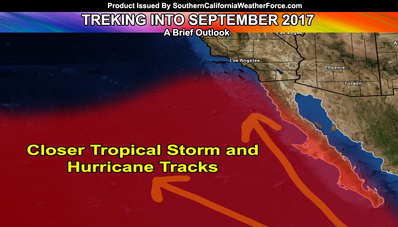
Now what about September? Current indications are that September will not be the month for Pacific Storms. September will be the month where the troughs start to dig to our west and the ridge starts to move to the east. This would mean that any tropical storm or hurricane will be driven fast to the northwest and toward our region, sending dynamics/moisture at times.
LIKE ME ON FACEBOOK for updates! Click Here and join thousands …
So I firmly believe that at this moment September will have a shot at delivering rainfall to the entire region, even far into the Central Coast … Temperatures in September will remain average, with two or so heatwaves to deal with and cold shots in-between coming from tropical moisture intrusions …
Click Here To Find Your Zone On Facebook For Updates Now and In The Future