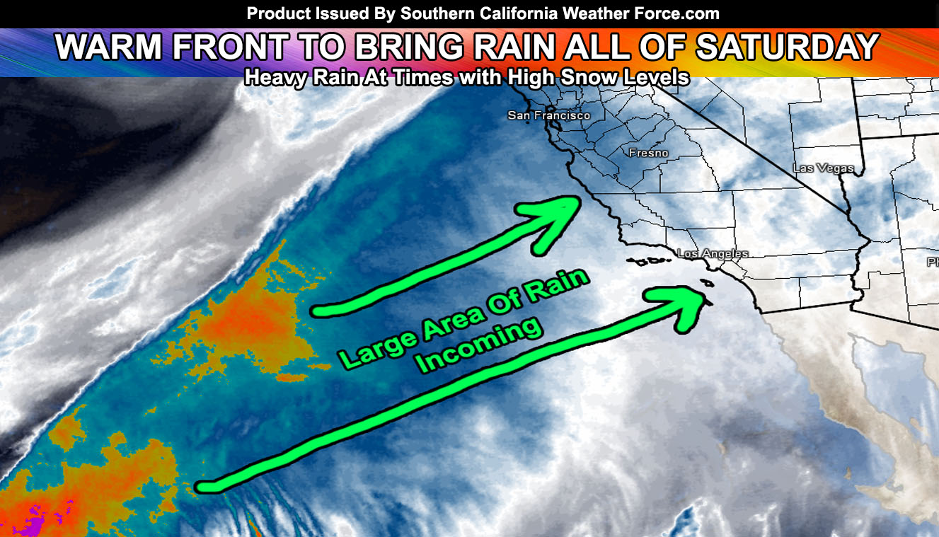
As published on Monday, the weekend rain was at a 100% chance and that will be hitting for your Saturday. It will be a warm front so it won’t have the characteristics of our normal frontal zone systems where it just comes in quick, hits, and moves out. The warm front will bring a shield of rain overspreading much of the forecast area starting Saturday morning and in many locations it will rain all day and into half of the night when the system departs.
Current storm location and tracking puts a flood risk with it from Los Angeles west to Santa Barbara so if the need arises by morning I will issue a flood watch product in those zones, and possibly as far south as the San Diego County Foothill zones too. We could easily see an inch of rain in the Los Angeles area with this weekends event.
Wind pattern looks to be gusty in the bight of the region on Saturday. A low/mid level jet exceeding 50kts will also bring strong winds to the mountain tops with 30-40 mph winds in the high and low desert regions.
The snow level will be over 9,000 FT for the most part and snow is not expected in the mountain communities nor shows it on my models. Mt. San Gorgonio could get 6 inches of snow.
Another system later this next week is likely and my models continue to indicate the month of March having our ‘March Miracle’ storm systems. The storms after this one should be colder as they remain as cold front systems.
The is a chance in the window that NASCAR out in Fontana will be rained out so continue to keep an eye on future forecasts that I issue.
Members can check the rain and flood risk models for this system with this link – https://www.southerncaliforniaweatherforce.com/scwf-members-section/