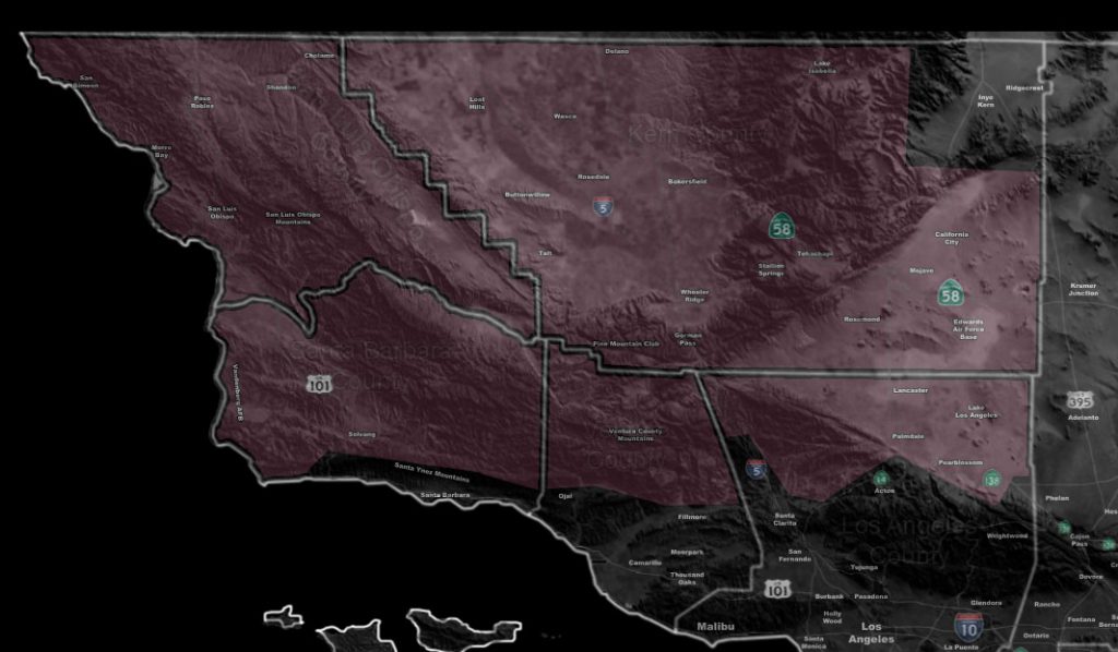

Issued Zones: Santa Barbara and San Luis Obispo County … Kern County excluding Ridgecrest … Gorman Pass
Site: Southern California Weather Force has issued a Weather Advisory …
Date: 3/17/18 at 5:50am PT
When: Today through this evening …
Forecast: An impulse moving into the region today will put an increase in convective shower and thunderstorm activity through today. A convergence boundary setting up through SLO and moving into Kern will bring that upswing … and one across Lancaster to Edwards Air Force Base will be present later on.
Given the snow level is around 4,000 FT … additional snowfall in the Gorman/Tehachapi areas is likely …
Shear is not too impressive… but some parameters exist for the chance of lightning with these cells. Hail is also likely with 0.25″ diameter possible.
PREMIUM MEMBERS – Click here to check out what is updated today in the SCWF member area …
Join A Micro-Climate Group On Facebook For These Alerts – Click Here To Find Your Location Served By SCWF Today!
10 mile rule: These alerts issued on this site means that within your zone and 10 miles from you will see the event forecast for. You may or may not see the event but it means you are in the zone or 10 miles from where someone will.
Forecaster: KM