

Issued Zones: Santa Ana Mountains … Northern Orange County Basin … Los Angeles Basin … SGV/SFV/SCV … Antelope Valley … Edwards Air Force Base …
Site: Southern California Weather Force has issued a Weather Advisory effective now through tonight …
Date: 7/11/18 at 9:15am PT
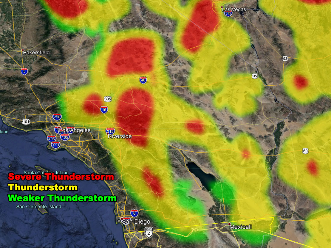
Forecast: An inverted trough will move through the area today. Unlike yesterday where the culprit for failed development was strong winds at 18,000 FT shearing the storm tops off .. we will not see that today. Sufficient clearing over the area is enough to pop off thunderstorms early, likely well before noon.
As the day moves along these storms will intensify in the watch area. Movement will be to the southwest and generally the southwest moving storms are favorable for the Antelope Valley and Los Angeles County Mountains.
Movement from there would be fast enough for a thunderstorm AND/OR shower to make it to the Los Angeles Valley/Basin areas, including the SGV/SFV/SCV areas. Flash flooding is possible in the mountain/desert areas with any stronger storm.
Now tonight is an interesting pattern. This inverted trough nudges northward some and puts the LA Mtns to SCV/SFV in upper divergence for lift. A crossing vort would aid in updraft development and we could continue showers in those regions.. with a movement due west toward Ventura/Santa Barbara County … I’ll leave the advisory up through some of tonight for that …
PREMIUM MEMBERS – Click here to check out what is updated today in the SCWF member area …
Join A Micro-Climate Group On Facebook For These Alerts – Click Here To Find Your Location Served By SCWF Today!
10 mile rule: These alerts issued on this site means that within your zone and 10 miles from you will see the event forecast for. You may or may not see the event but it means you are in the zone or 10 miles from where someone will.
Forecaster: KM