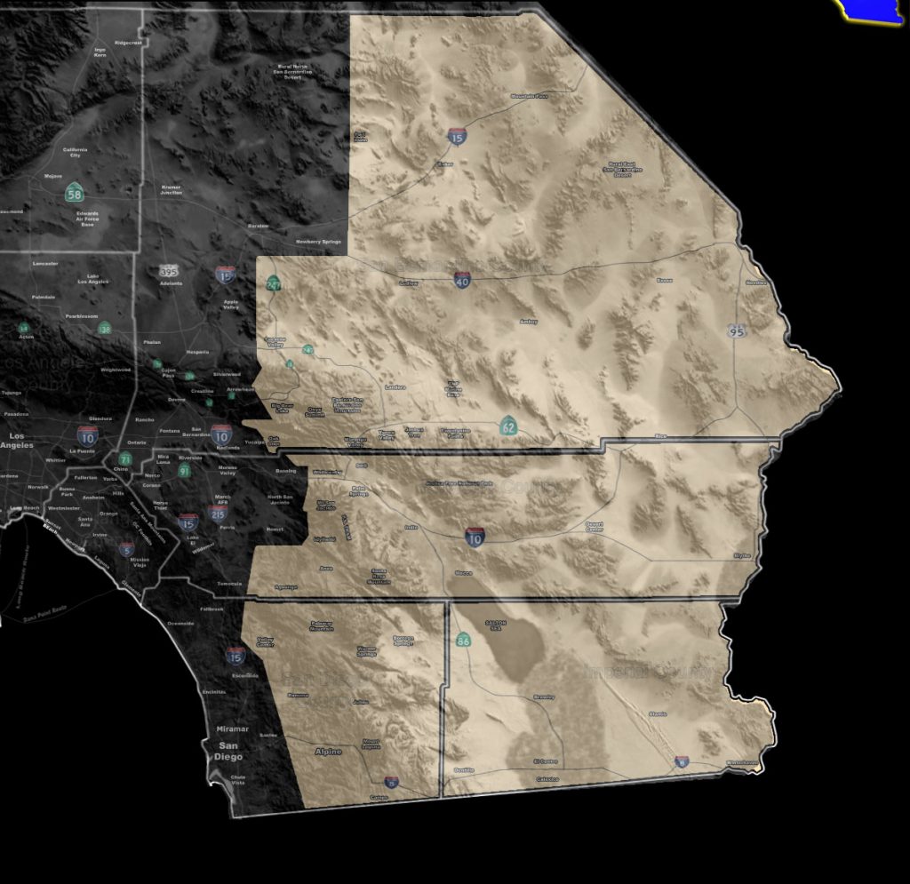

Issued Zones: San Diego/Riverside County Mountains and Deserts … Big Bear zones … Lucerne/Johnson Valley … Morongo Basin .. CO River Valley …Imperial County …
Site: Southern California Weather Force has issued a Special Weather Statement effective now for later Tuesday into the rest of the week.
Date: 8/13/18 at 6:00pm PT
Forecast: Southeast flow from the northeast side of former Hurricane John will work with a ridge of High Pressure over Northern Arizona by later Tuesday evening/night and going for most of the mid/end week.
This flow establishing will bring the return of monsoonal moisture to the area, along with strong instability for thunderstorm activity.
Storms moving out of Arizona toward the Eastern Deserts; including Imperial County, will also be likely, especially during the overnight hours starting overnight Tuesday into Wednesday.
So keep in mind this forecast… activity starts later Tuesday evening/night and mostly Wednesday onward.
Additional products will be issued as the time comes.
PREMIUM MEMBERS – Click here to check out what is updated today in the SCWF member area …
Join A Micro-Climate Group On Facebook For These Alerts – Click Here To Find Your Location Served By SCWF Today!
10 mile rule: These alerts issued on this site means that within your zone and 10 miles from you will see the event forecast for. You may or may not see the event but it means you are in the zone or 10 miles from where someone will.
Forecaster: KM