The storm pattern is about to start across California and all burn areas need to take note of this forecast as this was long range and now it is medium range, with expectancy from the previous article still after November 19th, surrounding the Thanksgiving Holiday time-period so read on for those details …
The Fall 2018 forecast (Click Here To Read Article) released in September is on track with October just above average and the strongest Santa Ana Winds being November, along with storm events. This next storm pattern will push November rainfall values through the 1″ mark in Downtown Los Angeles, where precipitation averages are officially documented.
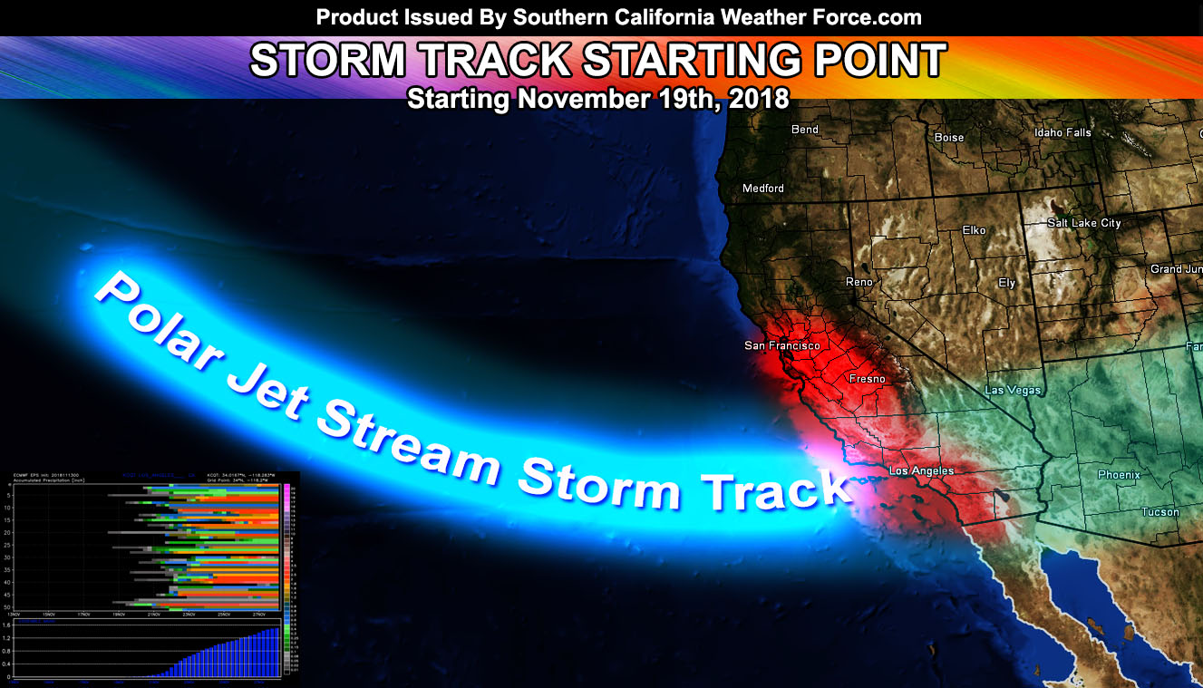
What I am still seeing from the previous article (Click Here To Read Article) is a break between the Santa Ana Wind Pattern and November 19th. Sometime between November 19th and November 24th we will have the storm pattern finally hit Southern California. This pattern thus far in my long range numbers between 50 of my algorithms numbers is consistent with past long range storm pattern predictions, which ended up happening as advertised. These systems do look like they will provide a good amount of rainfall for the month of November. The average precipitation forecast in my November forecast was 0.5 to 1.5″ of rainfall for Downtown Los Angeles. Of course there will be more in the southern slopes of the mountains.
All burn areas across California will be affected by this pattern and if you are in those areas you need to continue to monitor Southern California Weather Force in the near future for further updates.
It is very possible this pattern will stick around through the beginning of December as well. We’re just getting started with El Nino this season …
Premium Members: The member section (Click Here) will have daily updates to the rainfall average model. Right now it looks like it is increasing. During the storm pattern premium members will get live updates, micro-climate alerts, snow forecasts, rain forecasts, flood risk forecasts, wind forecasts, thunderstorm forecasts … the works … SCWF will be CLOSED on Thanksgiving Day, but if a storm is in the area all the forecasts will be updated. The live update center will not be active then. IF you are not a member, consider it today …
End
NOTE: Premium members. If you are signed up, your login is your e-mail address and the username and password as the password. You can change the password
Ongoing Ad – The Southern California Weather Force has a member section with LIVE UPDATES FOR EVENTS and rain, wind, thunder, tornado etc models that are personally updated by me with each Santa Ana Wind or storm event. You also can get e-mailed alerts via a slew of micro-climates. Check the member section for details on how you can support this service.. along with getting service in return… Click Here To Join or Upgrade Via The Member Section
Please remember if upgrading to CANCEL YOUR PAYPAL PAYMENTS. Login and cancel the reoccurring payments.
The Southern California Weather Force has different Facebook groups that you can ask for notifications from in order to get the latest posts affecting those regions. If that area is talked about in an article, alert, and such .. it’ll be posted there and you can be notified.
Comments are usually DISABLED as we do like to keep this as an information giving group and replies from others in the notification may annoy some.
Find your micro-climate group here – https://www.southerncaliforniaweatherforce.com/scwf-weather-alert-facebook-groups-by-region/
EMAIL ALERTS? Many micro-climate zones to choose from to get custom alerts from thunderstorm, wind, flood, surf, heat, cold, storm, and much more with the premium e-mail alert system, the most advanced zone alert system in Southern California – Click Here To Join!
SOUTHERN CALIFORNIA ONLY: if it does not say “Liked” LIKE The Page Below and join thousands of informed weather forecast viewers in our region for more of the updates! noticeable
BEHIND THE SCENES FORECASTS/UPDATE PAGE: if it does not say “Liked” LIKE The Page Below and join thousands of informed weather forecast viewers in our region for more of the updates! noticeable