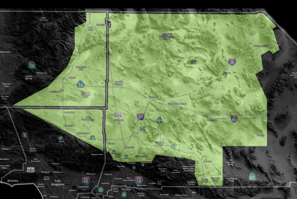

Issued Zones: Antelope Valley … Kern Desert … Metro High Desert … Morongo Basin … Top of the Cajon Pass
Site: Southern California Weather Force has issued a Wind Chill Warning effective tonight into Wednesday morning …
Date: 2/5/19 at 3:45pm PT
Forecast: A passing cold front will drop the temperature overnight tonight and into Wednesday morning. Gusty winds at times in the High Desert and the Top of the Cajon Pass will make for low wind chill factors. Wind chill factors in the low 20s looks like for most of the High Desert, with the exception of the wind chills in the TEENS for the Victor and Lucerne Valley metro forecast zones.
The top of the Cajon Pass will be in the low 20s without wind chill, but factoring in the winds would bring it to near the single digit mark for between 8 and 11 degrees F.
PREMIUM MEMBERS – Click here to check out what is updated today in the SCWF member area …
Join A Micro-Climate Group On Facebook For These Alerts – Click Here To Find Your Location Served By SCWF Today!
10 mile rule: These alerts issued on this site means that within your zone and 10 miles from you will see the event forecast for. You may or may not see the event but it means you are in the zone or 10 miles from where someone will.
Forecaster: KM