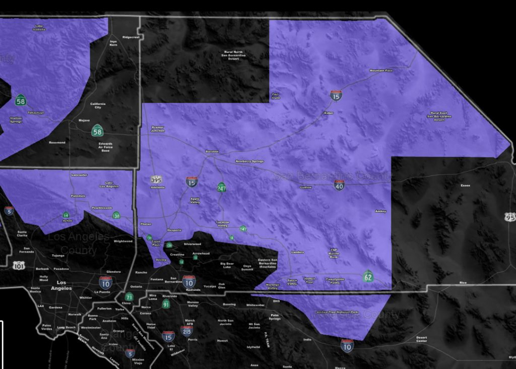
Issued Zones: The Cajon Pass … High Desert … Morongo Basin to JTNP … Antelope Valley … Green Valley/Lake Hughes …
Site: Southern California Weather Force has issued a Winter Weather Advisory for snowfall, effective Sunday …
Date: 2/15/19 at 3:05pm PT
Forecast: A cold system will move into the region starting Sunday morning and lasting for the entire day for some of the advisory zone. The system is a quick moving front, but with a harder impact than most of the degree. It should enter the region early Sunday morning and enhance with moderate snow intensity (heavy at times) in the Cajon Pass and some High Desert regions.
The Cajon Pass may actually receive 2+ inches from this system so this is a hazard for traveling. This advisory includes 1-2″ for the rest of the High Desert, including the Morongo Basin.
I opted for an advisory simply because it does have the chance of higher spurts of snowfall rates at times. The snow level will be below 3,000 FT so this will start off as snow on Sunday morning for the entire advisory area.
Another system, likely colder with more lifting dynamics, is scheduled in for February 21st and I’ll issue the proper article/alerts for that as it gets closer. For now you have that as a warning.
Get These Via E-mail On The Premium Service In YOUR area: Click here to find out more
Join A Micro-Climate Group On Facebook For These Alerts – Click Here To Find Your Location Served By SCWF Today!
10 mile rule: These alerts issued on this site means that within your zone and 10 miles from you will see the event forecast for. You may or may not see the event but it means you are in the zone or 10 miles from where someone will.
Forecaster: KM