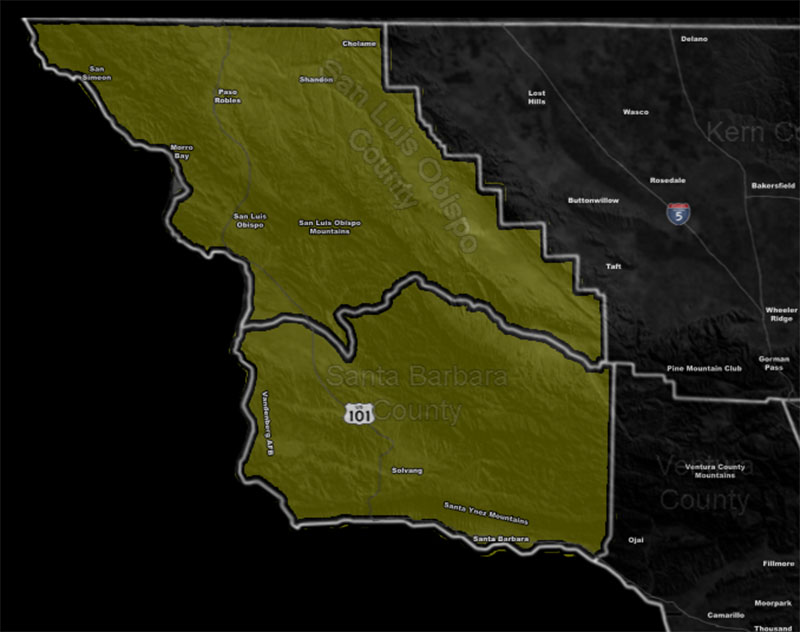
Issued Zones: San Luis Obispo and Santa Barbara County …
Site: Southern California Weather Force has issued a Severe Weather Statement effective Thursday …
Date: 1/14/20 at 1:15pm PT
Forecast: A frontal zone will come through the area on Thursday on its way, weakening through LA/OC/IE/San Diego proper. However as for the statement zone, expecting this front to have somewhat of a punch to it.
The front will have gusty winds along with heavy rainfall that is breaching the Flood Advisory criteria at the moment so embedded in this is a FLOOD WATCH.
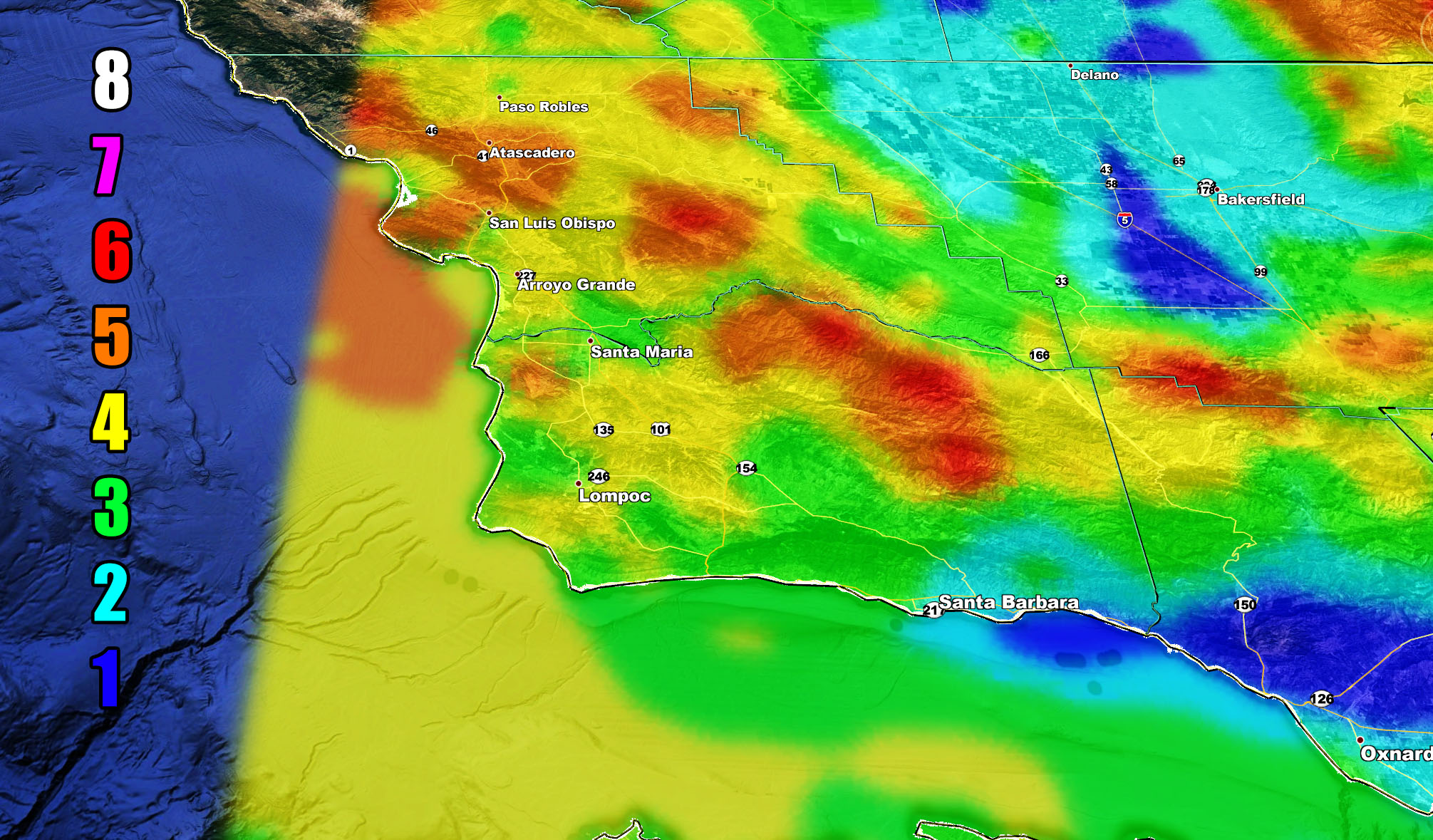
The frontal zone dynamics does have some chance of EF0 tornado capabilities but as of right now this statement is for the further issuance and monitoring of the Squall-line Watch, which means gusty winds along the heavy rainfall is expected in this zone with the strongest in the Western SBA County zones up into SLO County … Use the model below for the wind expectancy in your area …
Martin Wind Gust Intensity Scale –
8. Extensive widespread damage.
7. Trees are broken or uprooted, building damage is considerable. – High Profile Vehicle Roll-Over CERTAIN.
6. SOME Trees are broken or uprooted, building damage is possible. – High Profile Vehicle Roll-Over Likely, Do NOT recommend Traveling in this zone
5. Slight damage occurs to buildings, shingles are blown off of roofs. HIGH WIND WARNING CRITERIA – High Profile Vehicle Roll-Over Possible if weight is not corrected.
4. Twigs and small branches are broken from trees, walking is difficult.
3. Large trees sway, becoming difficult to walk. POWER SHUTDOWN THRESHOLD WIND ADVISORY CRITERIA
2. Large tree branches move, telephone wires begin to “whistle”, umbrellas are difficult to keep under control.
1. Small trees sway.
How to get these alerts with a premium subscription? (100 percent delivery time)
Click Here For Options
Join A Micro-Climate Group On Facebook For These Alerts? (50 percent delivery time)
Click Here To Find Your Location Served By SCWF Today!
NOTE: If you read this from a SCWF micro-climate Facebook Group, keep in mind that forecast ARTICLES are NOT posted there unless it directly affects you. You will want to go to the MAIN SCWF Facebook Page and to go there you CLICK HERE.
10 mile rule: These alerts issued on this site means that within your zone and 10 miles from you will see the event forecast for. You may or may not see the event but it means you are in the zone or 10 miles from where someone will.
Forecaster: KM