
After a system in March brought the season precipitation numbers up, April looks to be another temperature roller coaster with a storm system embedded in the pattern along with a few heatwaves so read on for details …
Join the Facebook Page for Further Updates If You Have Not Yet!
SOUTHERN CALIFORNIA WEATHER FORCE MAIN:
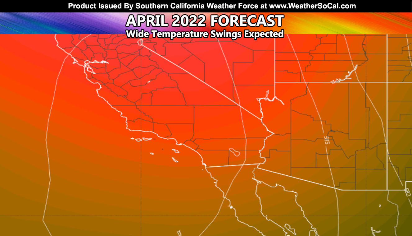
April started out with below average temperatures, but a ridge of high pressure starting tomorrow (Wednesday) will build directly overhead, maximizing on Friday. This will push temperatures in the valleys up near the 100F mark for the first time this season in a ‘mini’ heatwave event.
After that, sometime around April 11th, the ridge would have knocked down and bring an inside slider storm system into California. The system is cold, but being of inside slider type it will not be one to impact Santa Barbara, Ventura, or Los Angeles a lot, and most of the precipitation will be from the Inland Empire south through San Diego County. Forecasts on that will begin a few days before it hits.
After mid-April, we swing back up again in temperatures with yet another strong ridge of high pressure for higher temperatures and probably heatwave level status. The Coachella Music Festival looks to have cooler temperatures with windy conditions to start, followed by a heatwave toward the end. It starts April 15th and ends April 24th, with Easter Sunday being April 17th.
Downtown Los Angeles is now at 12.06″ of rainfall for the season. My prediction in the beginning was 10-14″ and that lands smack in the middle so far. We likely will not see much more in those numbers so the 10-14″ forecast looks to be right on target. This bodes well for future forecasts in the long range, including this next season, which could be shaping out to be much better after the Summer.
How to get these alerts with a premium subscription via e-mail by micro-climate zone AND/OR Get the GPS models for all events on your device enabled? (100 percent delivery time)
Click Here To Join The Season Tier
Join The Main Southern California Weather Force Facebook Group (50 percent delivery time) – You can join the main SCWF page as well through that group.
Click Here To Join The Page Today
FACEBOOK PAGES TO JOIN!
SOUTHERN CALIFORNIA WEATHER FORCE MAIN: Southern California Weather Force Office Main Page
SOUTHERN CALIFORNIA WEATHER FORCE METEOROLOGIST: – Just my public figure page that isn’t as large so maybe you can reach me better at times.
INSTAGRAM, TWITTER, TO JOIN!
Instagram – https://www.instagram.com/socalweatherforce/
Twitter – https://twitter.com/SCweatherforce
Southern California Weather Force is a custom weather alert service that began in September 1999 off and is regarded as the most accurate weather service in the region, offering custom alerts, maps, and models to help save life and property. The work done here is never 100% accurate, but it comes pretty close. Southern California Weather Force runs on zones, so if an event happens in a zone that is 10 miles from the border of your zone, the forecast is still valid to activate your zone’s alert system. A company quote to the public is that of “The Joker” and tells other agencies in weather this all the time… “This world deserves a better class of meteorologist… and I’m gonna give it to them”… out-forecasting even the National Weather Service with lead-time and precision, which makes this service a focus of ridicule and envy in the weather community due to having such accuracy. Alerts issued here are issued custom from this office and this office alone. You may not even hear it elsewhere, but if one is issued near or in your area, listen up because “if you do not wish to die in weather, follow, it’ll save your life one day.”