
[vc_row][vc_column][vc_column_text]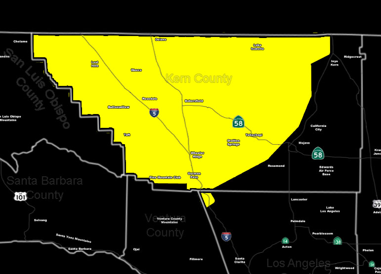
[/vc_column_text][vc_column_text]Issued Zones: Kern Mountains/Valleys … Gorman Pass …
Site: SouthernCaliforniaWeatherForce.com has issued a Severe Thunderstorm Watch effective now through this evening …
Date: 5/5/16 at 10:10am PT
Forecast: An upper level cutoff low system to the west is placing the region in a perfect spot for thunderstorm activity this afternoon/evening …
This upper level low is already dropping far enough south to put Kern County Valley/Mountain regions in strong lifting. The lifting associated with the upper divergence will work with the stronger instability today to product thunderstorms, some of which will be severe.
Severe Thunderstorm will contain hail, strong winds, and even isolated tornado potential … be advised if you are in the Ag business …
10 mile rule: These alerts issued on this site means that within your zone and 10 miles from you will see the event forecast for. You may or may not see the event but it means you are in the zone or 10 miles from where someone will.
Forecaster: KM[/vc_column_text][/vc_column][/vc_row][vc_row][vc_column][vc_column_text]
If this doesn\’t say “you like this” below then click the LIKE button if you thought this was good information! This helps spread the word by just ONE LIKE … Do it every time if you enjoy these … Thanks for helping!
[/vc_column_text][vc_facebook type=”button_count”][/vc_column][/vc_row][vc_row][vc_column][/vc_column][/vc_row]