[vc_row][vc_column][vc_column_text]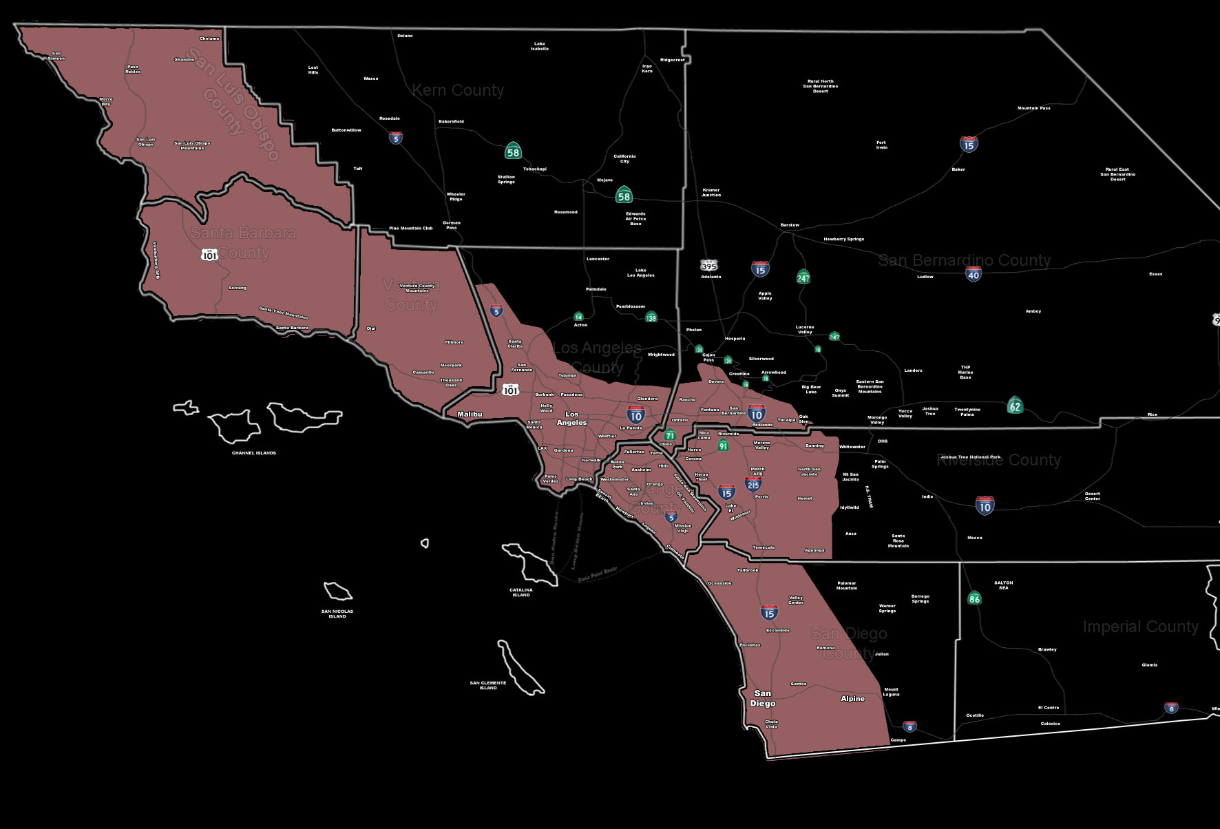
[/vc_column_text][vc_column_text]Issued Zones: All areas south/west of the mountains …
Site: SouthernCaliforniaWeatherForce.com has issued a Thunderstorm Watch effective now through Thursday morning …
Date: 1/6/16 at 6:40pm PT
Forecast: While one impulse is moving out, another impulse is moving in. The final impulse will reinforce the deep-layer moisture across the region. Strong upper divergence (very strong) will move in through tonight and Thursday morning … producing strong lifting across a large section of the forecast area.
Thunderstorms containing frequent lightning and small hail will be possible, as well as the chance of localized flooding with the stronger cells. Storms will form just about anywhere in the thunderstorm watch so everyone is fair game. It’ll pick up as the night moves along …
10 mile rule: These alerts issued on this site means that within your zone and 10 miles from you will see the event forecast for. You may or may not see the event but it means you are in the zone or 10 miles from where someone will.
Forecaster: KM[/vc_column_text][/vc_column][/vc_row][vc_row][vc_column][vc_column_text]
If this doesn\’t say “you like this” below then click the LIKE button if you thought this was good information! This helps spread the word by just ONE LIKE … Do it every time if you enjoy these … Thanks for helping!
[/vc_column_text][vc_facebook type=”button_count”][/vc_column][/vc_row][vc_row][vc_column][/vc_column][/vc_row]