[vc_row][vc_column][vc_column_text]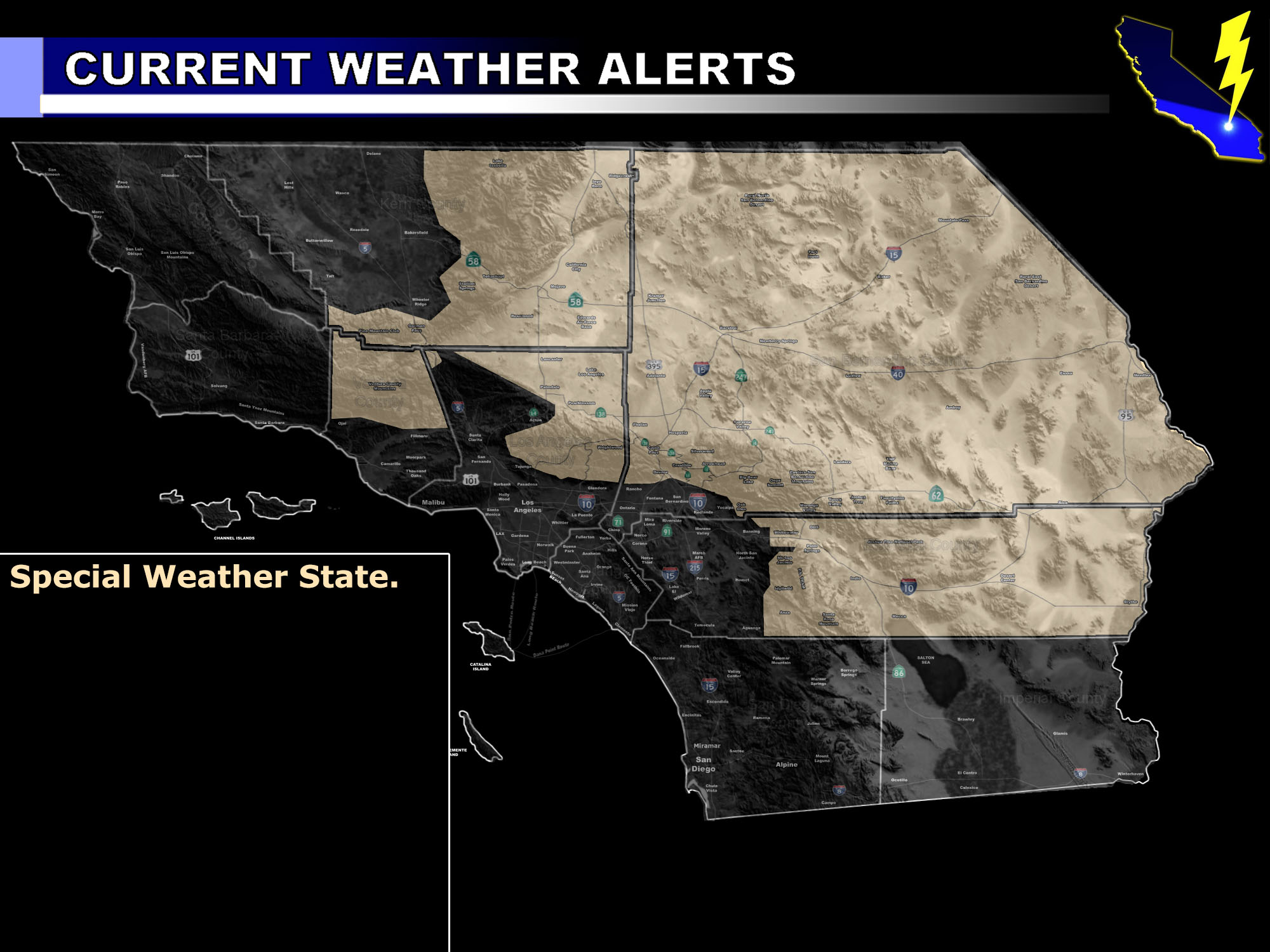
[/vc_column_text][vc_column_text]Issued Zones: Mountain and Desert Zones …
Site: Southern California Weather Force has issued a Special Weather Statement effective now through Tuesday …
Date: 8/19/17 at 6:45pm PT
Forecast: An upper level low will move offshore through today and maximize on Monday across the forecast area. This will provide the needed lift without the mountain zones across both the mountain and desert areas.
Best target right now for the most activity will be east of Lucerne Valley and Barstow, along the I-15 and I-40 respectively. If you are heading to or from Las Vegas on Monday or Tuesday you can expect developing monsoon induced thunderstorms. Thunderstorms may contain the risk for flooding, damaging winds, and frequent lightning … large hail is not expected …
Thunderstorms in the High Desert Metro could happen if storms form off Big Bear and head on in that direction, however the greatest coverage will remain east of I-15 and even Ludlow …
Additional areas would be moving from east to west over the Kern Mtn/Desert areas on Tuesday …
10 mile rule: These alerts issued on this site means that within your zone and 10 miles from you will see the event forecast for. You may or may not see the event but it means you are in the zone or 10 miles from where someone will.
Forecaster: KM[/vc_column_text][/vc_column][/vc_row][vc_row][vc_column][vc_column_text]
If this doesn\’t say “you like this” below then click the LIKE button if you thought this was good information! This helps spread the word by just ONE LIKE … Do it every time if you enjoy these … Thanks for helping!
[/vc_column_text][vc_facebook type=”button_count”][/vc_column][/vc_row][vc_row][vc_column][/vc_column][/vc_row]