After a relatively cool August thus far as predicted in my August 2017 forecast released in July, (Article A) we will push those temperatures back into dangerous heatwave levels as the monsoonal moisture returns to the area after this weekend into this next week so read on for details.
Heads up, because as stated in my August 2017 forecast, the monsoonal moisture would return. This looks to be so as a ridge of high pressure develops to our north-northeast, sending easterly waves into the forecast area.
LIKE ME ON FACEBOOK for updates! Click Here and join thousands …
Events look to target around my birthday, August 29th … so maybe I’ll get a thunderstorm here in the Inland Empire.
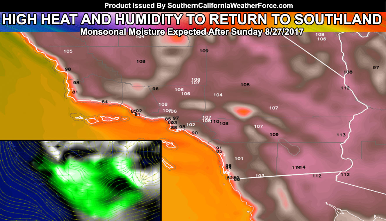
Events will start after Sunday, increasing on Monday, Tuesday and Wednesday. Copious amounts of moisture and easterly flow will bring the risk of thunderstorm activity west of the mountains … so areas in the Inland Empire or San Diego Valleys should keep an eye on my forecasts coming up, following this. Now don’t get me wrong, the nominal zones of the mountain/desert regions will be in this as well.
Temperatures across the area will be well above normal with 100-115F for the Inland Valleys being highly likely with triple digits starting as early as Sunday, maximizing during the week.
Click Here To Find Your Zone On Facebook For Updates Now and In The Future
Click Here To Find Me On TWITTER.
It is urged that residents who are affected by high heat and humidity combinations plan ahead of this upcoming weather concern and check on those around you that may also need help planning.
Article A – August 2017 Long Range Weather Outlook: Members Only First Look Forecast