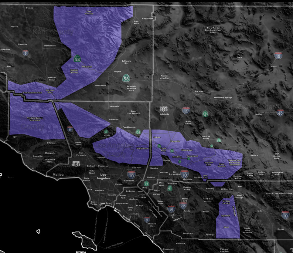

Issued Zones: Kern, Ventura, Los Angeles, San Bernardino and Riverside Mountains above 4,000 FT … Cajon/Gorman/Phelan and Highway 18 from Hesperia to Lucerne Valley …
Site: Southern California Weather Force has issued a Winter Weather Advisory effective now through the weekend …
Date: 1/5/19 at 9:30am PT
Forecast: A potent fast moving storm system dubbed Pacific Storm SIMON will move through the area today and tonight. This system will drop heavy snowfall in parts of the Los Angeles and San Bernardino Mountains, with marginal amounts elsewhere.
The snow level may dip to 4,000 FT, which will put the Gorman and Cajon Pass at the snow and freezing rain level for traffic hazards so be advised of this.
PREMIUM MEMBERS can go to the link below for the zoom-able snow-model map here at SCWF of this event. But.. I will give select amounts for areas here …
Tehachapi – Dusting
PMC/Frazier – 1-3″
Wrightwood – 1-3″ with more on Highway 2 near Mt Baldy at over a foot. Rain shadow will be there for WW.
Big Bear Lake – 1-3″ east end and 5-7″ west end along the rim.
Cajon Pass and Phelan – Dusting
Forest Falls – 5-7″
Idy – 4-6″
Mt Laguna (not in this advisory) – Dusting
PREMIUM MEMBERS – Click here to check out what is updated today in the SCWF member area …
Join A Micro-Climate Group On Facebook For These Alerts – Click Here To Find Your Location Served By SCWF Today!
10 mile rule: These alerts issued on this site means that within your zone and 10 miles from you will see the event forecast for. You may or may not see the event but it means you are in the zone or 10 miles from where someone will.
Forecaster: KM