
[vc_row][vc_column][vc_column_text]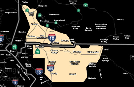 [/vc_column_text][vc_column_text]Issued Zones: East of half of the Inland Empire …
Authoritative Office: SouthernCaliforniaWeatherForce.com has issued a Special Weather Statement effective tonight …
Issued Date: 12/16/16 at 4:50pm PT
Forecast: Onshore flow combined with a backdoor cold-front as the lifting source will bring snowfall to the San Bernardino Mountains … however this same front would have enough lifting for showers and even the risk of thunder in a very small area of the Inland Empire, south of Crestline, east of Corona/Norco .. centering Highland, Moreno Valley, and Hemet .. .tonight …
Snow level will be 4,000 FT over Yucaipa with wet non-sticking to 3,000 and sleet to 2,500 FT …
10 mile rule: These alerts issued on this site means that within your zone and 10 miles from you will see the event forecast for. You may or may not see the event but it means you are in the zone or 10 miles from where someone will.
Forecaster: KM[/vc_column_text][/vc_column][/vc_row][vc_row][vc_column][vc_column_text]
If this doesn\’t say “you like this” below then click the LIKE button if you thought this was good information! This helps spread the word by just ONE LIKE … Do it every time if you enjoy these … Thanks for helping!
[/vc_column_text][vc_facebook type=”button_count”][/vc_column][/vc_row][vc_row][vc_column][/vc_column][/vc_row]