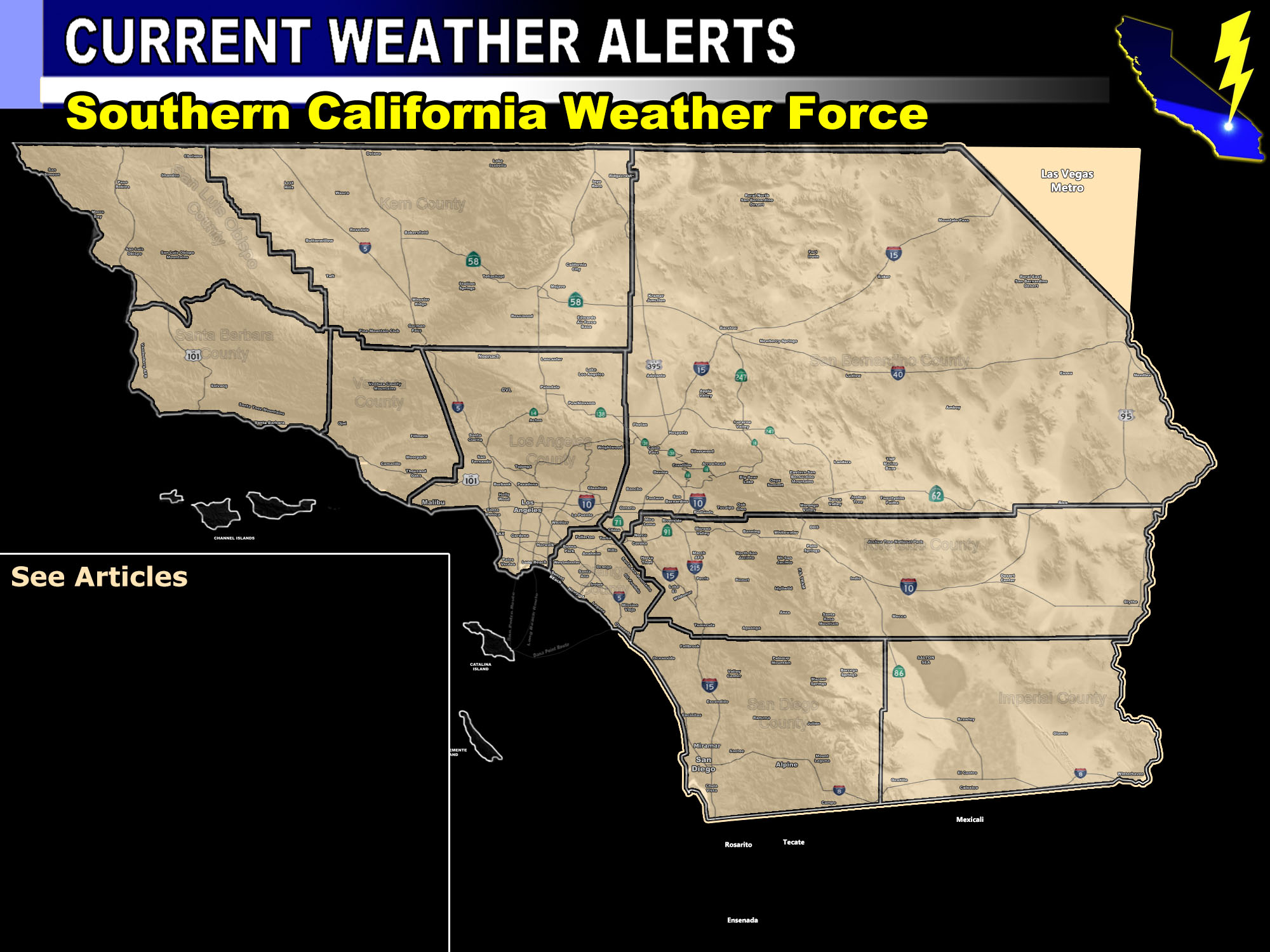

Issued Zones: San Bernardino, Riverside, San Diego Mountains … Hemet/Banning/Yuciapa forecast areas … Metro High Desert from Lucerne Valley to Apple Valley and Hesperia …
Site: Southern California Weather Force has issued a Severe Thunderstorm Watch effective now through today …
Date: 10/1/18 at 9:00am PT
Forecast: Moisture streaming northward from Rosa along with a dry flow ‘aloft’ from the cutoff system developing to our west… will up the risk of thunderstorms today in the watch area.
The dry flow aloft has allowed for the area not to have mid-level clouds in the morning and thus the instability is on the rise. Instability should reach crucial point by around 10am and everything will take off from there.
The flow is predominantly out of the south today.. so the worst hit spots will be in our mountains and the high desert zones.
A brief northwest movement off the Riverside Mountains could bring these into the Hemet forecast areas and thus the Eastern Inland Empire is also in this watch.
Storms today could bring flash flooding, larger hail, damaging winds, and/or landspout tornadoes.
NOTE: Check the member section often for any new center updates, including tstorm, rain , etc models if avail.
PREMIUM MEMBERS – Click here to check out what is updated today in the SCWF member area …
Join A Micro-Climate Group On Facebook For These Alerts – Click Here To Find Your Location Served By SCWF Today!
10 mile rule: These alerts issued on this site means that within your zone and 10 miles from you will see the event forecast for. You may or may not see the event but it means you are in the zone or 10 miles from where someone will.
Forecaster: KM
