
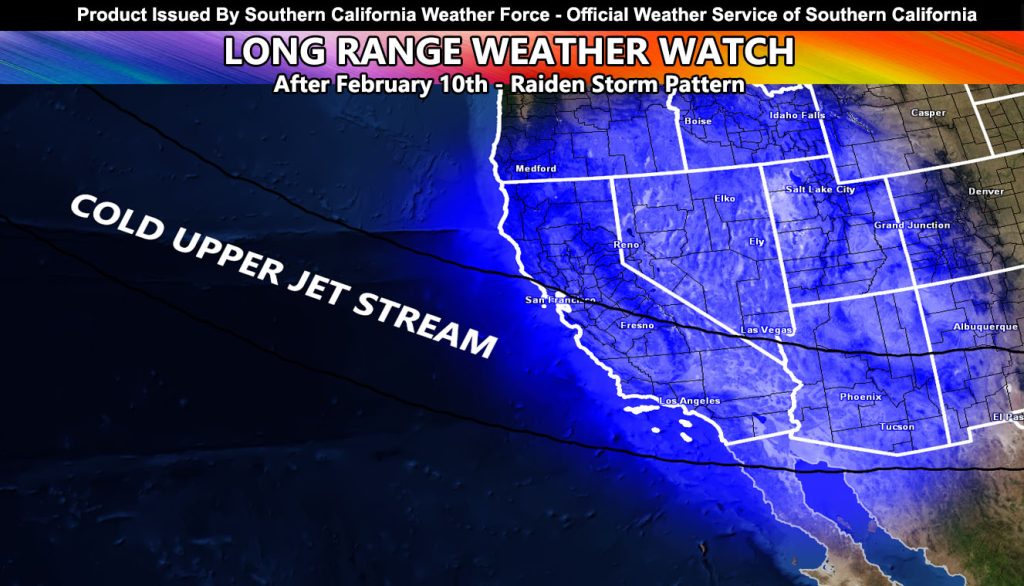
Offshore Flow This Week Will Be Followed by a Colder Storm Pattern from the 10th and into Middle Month
Long Range Weather Watch Issued: As stated on the January 25th, and again on the January 30th post, I was going to continue monitoring a change in the pattern from what we have now, to the storms returning.
The first one slides in around the 10th or so. Snow-levels with it will be between 5,000 and 6,000 FT. It does not have a lot moisture with it, given it is a northwest slider system, but it will set into moisture the coming pattern after it.
Sometime mid-month, call it around the 15th, a second colder system will move in. This will has all the moisture and cold air for pass level snowfall, so it will be the one to watch.
There is a good chance this could give a number of systems, even we approach February 19th and 20th. Regardless, looks like the cold and wet storms are arriving.
Since this was called way back on January 25th, it is indeed a Raiden Storm Pattern.
More updates will come as we get closer, but for now this will do as another reminder.
Raiden Storm
Master General Meteorologist