
[vc_row][vc_column][vc_column_text]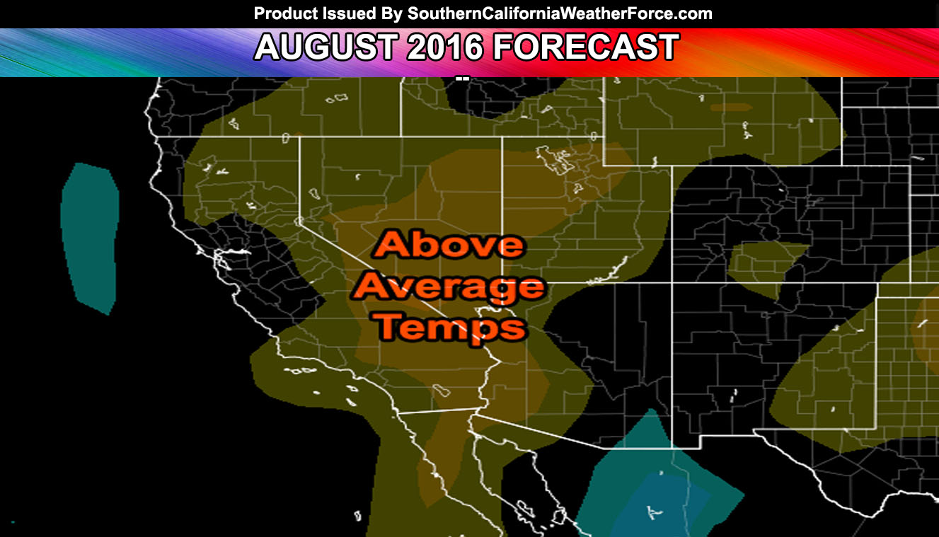
The July 2016 forecast went well with the predicted drier than normal weather and slightly hotter than average temperatures as a whole month combined … and now it is onto what August will be so read on for details.
August 2016 will feature a cooling period for the first 10 days of the month. Already, high pressure has backed off some and allowing for below normal to normal temperatures region-wide and a trough of low pressure will be anchored through the next 10 day period across the Western United States coast. Given this, the monsoonal flow will be pushed far back into Arizona and give drier and cooler than normal conditions across all sectors of the forecast area.
After the 10th and mid-part of the month … the ridge of high pressure returns over the area and this is when we will start to see the heat return … at times to heatwave level status. This looks very similar to last month with a cool start followed by a warm/hot end.
Monsoonal moisture did briefly hit the Banning Pass toward the end of last month and affected some mountain and desert areas. It also gave San Diego a thunderstorm one of the mornings so the forecast for that did pan out correctly, regardless if you got nothing or not so we’ll end that discussion there.
Because August is going to be ending a lot like previous months … my formula from March to August is still showing a 2004-2005 Analog for the upcoming storm season. If it remains on track, we’ll see more storms/rain/snow for the 2016-2017 storm season than previous seasons beforehand, regardless of it not being El Nino or not.
The sea temps remain balanced at a Weak La Nina at the moment …[/vc_column_text][/vc_column][/vc_row][vc_row][vc_column][vc_facebook type=”button_count”][/vc_column][/vc_row]