
[vc_row][vc_column][vc_column_text]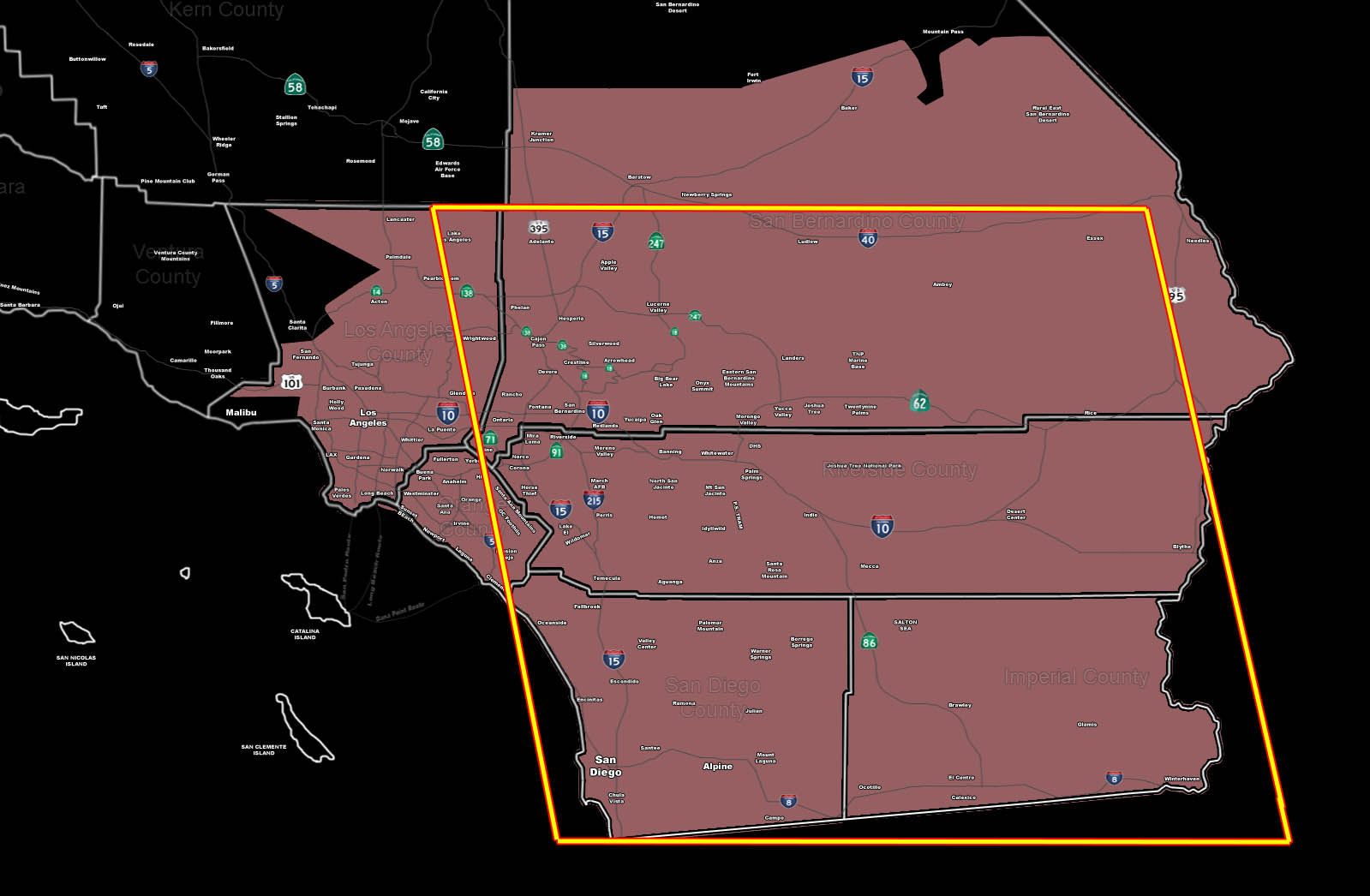 [/vc_column_text][vc_column_text]Issued Zones: All areas Los Angeles County eastward …
Site: SouthernCaliforniaWeatherForce.com has issued a Thunderstorm Watch effective now through Tuesday night…
Date: 9/19/16 at 12:45pm PT
Forecast: Mid and upper level moisture is streaming in from the southeast and upper divergence with the low to the southwest of our area will generate strong dynamics for thunderstorms from San Diego / Mexico border east to Imperial County through today and Tuesday.
The storms will move along a mid-level trough-axis to the north into the Riverside/OC/LA/ areas … the most dynamics will remain from San Diego to the Inland Empire … and this will last through Tuesday.
10 mile rule: These alerts issued on this site means that within your zone and 10 miles from you will see the event forecast for. You may or may not see the event but it means you are in the zone or 10 miles from where someone will.
Forecaster: KM[/vc_column_text][/vc_column][/vc_row][vc_row][vc_column][vc_column_text]
If this doesn\’t say “you like this” below then click the LIKE button if you thought this was good information! This helps spread the word by just ONE LIKE … Do it every time if you enjoy these … Thanks for helping!
[/vc_column_text][vc_facebook type=”button_count”][/vc_column][/vc_row][vc_row][vc_column][/vc_column][/vc_row]