
[vc_row][vc_column][vc_column_text]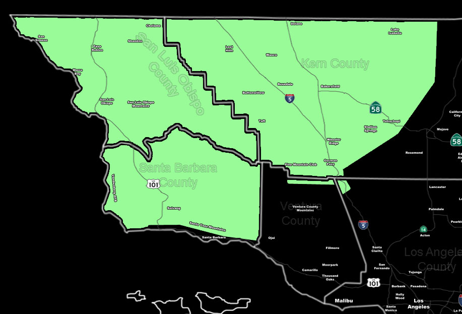 [/vc_column_text][vc_column_text]Issued Zones: Kern Valleys/Mountains … San Luis Obispo County .. Santa Barbara County Minus Southern coast …
Site: SouthernCaliforniaWeatherForce.com has issued a Short Term Forecast effective Monday for showers …
Date: 11/27/16 at 9:05pm PT
Forecast: A weak front will move into SLO/SBA County by Monday morning and spread east into Kern County over the day …
Snow levels in the Kern Mountains will start around 6,500 FT with wet snow down to 5,500 Feet so sticking level seems to be around 6,000 FT by Monday morning when the heaviest arrives. Given this, the snow level will fall over the day to 5,300 FT by later afternoon over the Pine Mountain Club areas and thus it looks like there will be snowfall in town. After sunset it seems the flurries will start accumulating slightly on the Gorman Pass itself.
Showers are still possible for the entire Short Term Forecast area ..
10 mile rule: These alerts issued on this site means that within your zone and 10 miles from you will see the event forecast for. You may or may not see the event but it means you are in the zone or 10 miles from where someone will.
Forecaster: KM[/vc_column_text][/vc_column][/vc_row][vc_row][vc_column][vc_column_text]
If this doesn\’t say “you like this” below then click the LIKE button if you thought this was good information! This helps spread the word by just ONE LIKE … Do it every time if you enjoy these … Thanks for helping!
[/vc_column_text][vc_facebook type=”button_count”][/vc_column][/vc_row][vc_row][vc_column][/vc_column][/vc_row]