
[vc_row][vc_column][vc_column_text]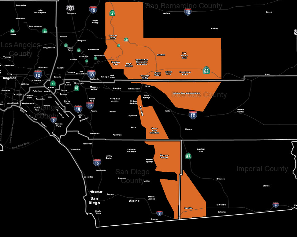 [/vc_column_text][vc_column_text]Issued Zones: Big Bear Lake/Eastern SBD Mountains … Eastern slopes of the RIV/SD Mountains … Morongo Basin … San Diego Desert …Southwest Imperial Desert (Ocotillo) …
Site: SouthernCaliforniaWeatherForce.com has issued a Hurricane Wind Speed Warning effective this evening, but mainly early Friday morning to the night …
Date: 12/15/16 at 8:50am PT
Forecast: A very powerful mid-level jet will move through the area .. .and as the front passes the sinking air behind it will slam down and create wind gusts that could surpass hurricane force in the affected areas above.
Wind like this are above the traditional advisory/warning levels I’d normally issue so take it seriously. Less concern for west of Big Bear Lake with a lot of concern in eastern sections into Big Bear City. The highest wind gusts will be along Highway 62 in the city of Joshua Tree.
DAMAGE IS EXPECTED
10 mile rule: These alerts issued on this site means that within your zone and 10 miles from you will see the event forecast for. You may or may not see the event but it means you are in the zone or 10 miles from where someone will.
Forecaster: KM[/vc_column_text][/vc_column][/vc_row][vc_row][vc_column][vc_column_text]
If this doesn\’t say “you like this” below then click the LIKE button if you thought this was good information! This helps spread the word by just ONE LIKE … Do it every time if you enjoy these … Thanks for helping!
[/vc_column_text][vc_facebook type=”button_count”][/vc_column][/vc_row][vc_row][vc_column][/vc_column][/vc_row]