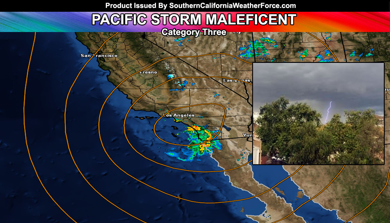
A strong cutoff system called back on May 1st here at Southern California Weather Force is directly over the forecast area today, bringing with her, thunderstorms. What is next? Read on for details …
The system hit starting yesterday with strong and sometimes damaging winds in our mountain and desert areas. Drizzle was apparent all day due to upsloping. Thunderstorms formed over the Northeastern San Bernardino County Desert areas and hit through Las Vegas, NV. Furthermore, thunderstorms with a snow level around 6,000 FT or so formed in the Gorman Pass areas that evening. All products from yesterday verified.
LIKE US ON FACEBOOK for updates! Click Here and join thousands …
As for today. Thunderstorms started in the High Desert zones in the afternoon with the strong area of upper divergence on the northern periphery of the upper low. This section moved southwestward, hitting the metro areas of Los Angeles, Orange, and The Inland Empire. The storms brought with them hail. At the same time, northeast flow hit Big Bear, making it snow for most of the day. Pictures from across social media showed at least 6″ in that area with higher elevations being over a foot.
San Diego was issued a Flood Advisory yesterday here at Southern California Weather Force. This verified today as San Diego County had the most rainfall, with 1-3″ being reported.
What is expected to hit the rest of the night and into Monday? The upper system’s sinking air will move in tonight, ending the risk of any activity in the area. Monday looks like a dry period … and Tuesday it looks like the moisture from the back-side of the system will hit mainly east of Ontario and Orange, giving the low deserts around Desert Center the better chance of activity, leaving elsewhere dry.
There are hints of a system approaching after Mother’s Day Weekend … but it is too far away for strong confidence at the time.

