July 2017’s forecast seemed to go very well with predicting the heat and monsoon windows, even the stronger surge we are seeing today, but what will August 2017 hold? Premium Members get the first look with some details so read on for details.
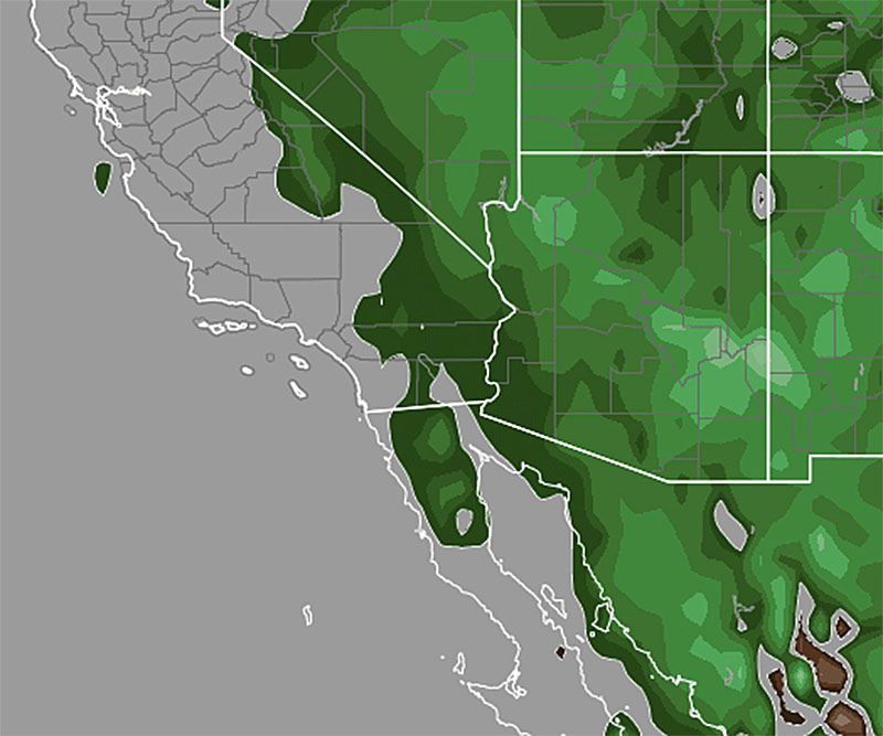
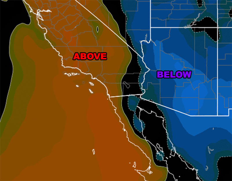
Unlike July 2017 which will end is average to below average monsoonal flows, August as a whole will bring above normal rainfall for the region, mainly the monsoon infected zones, including the Inland Empire areas.
The month will start out with tropical activity south of here, which would buckle the ridge of high pressure and send monsoonal moisture westward through the area … thinking right now it will be the wettest period of the month.
The driest period seems to happen with the middle of the month … so it is entirely possible that the Perseid Meteor Shower between August 11-13 will remain with great viewing conditions, with less moisture in the area… a crystal clear sky is expected.
Monsoonal moisture ramps up again toward the end of the month …
The hottest period will be between August 1st and August 7th.
The coolest period for all zones will be between August 8th and August 13th, the again August 18th through end month.
The wettest periods in this monsoon flow would be between August 1st and August 7th.