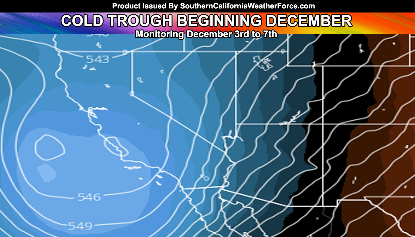
Another tail-end charlie system is set for Monday, but my weather event agreement is hinting at something more interesting between December 3rd and 7th. It’ll be in the 60s in the metros by Monday as well. Read on for details.
Well I’m back from Thanksgiving holiday and I hope you all had a good one as well and maybe still having it. But it’s time for me to get to work and what I see is what I put in the weather event agreement section before with a trough for end November, ending the November forecast outline. The December 2017 forecast is being worked on as we speak for PRO members only with a release coming up. The rest of you not within PRO will get the forecast pattern for December on December 1st, a week from now.
LIKE ME ON FACEBOOK for updates! Click Here and join thousands …
A tail-end charlie system will whisk across the area on Monday. As stated before… Tail-end charlie systems give less rainfall to all areas with gusty mountain/desert winds. There isn’t much to say about the system at the current time and I may leave it to the PRO micro-climate zone forecasts to finish it off. What I can see is after Wednesday the 29th we could see a fairly significant Santa Ana Wind Event setting up.
As for the beginning of December. Six out of twenty of my models show 1″ or higher rainfall for Los Angeles, which is a 30% chance at the moment. It isn’t a high chance, however it is the highest one we’ve had so far. Fall season in meteorological terms goes from September 1st to November 30th. The official meteorological Winter season goes from December 1st to the end of February. Spring starts March 1st. This is not to be confused with astronomical seasons. Weather patterns tend to follow the meteorological seasons better. On December 1st we will have gone with an entire meteorological Fall season without a major storm system.
HATE THE ADS? Become a premium member and support the service along with other perks …
Click Here To Learn More …
As stated in my forecast for the rest of the Winter and Spring season … we are going to see mid to late season storms, some of which will be major.
So, about the system in the beginning of December. While it isn’t for sure. the pattern does indicate a trough moving into the California area around then, with continued cooler temperatures and that shot of rainfall. Such a system would actually be one to watch for snowfall in our local mountains as well.
Members, follow the precipitation model updates daily in your member section by clicking here –
Click Here To Find Your Zone On Facebook For Updates Now and In The Future
Click Here To Find Me On TWITTER.
VISIT THE MEMBER SECTION FOR 2017-2018 SEASON – SIGN-UP OR READ ABOUT IT HERE

