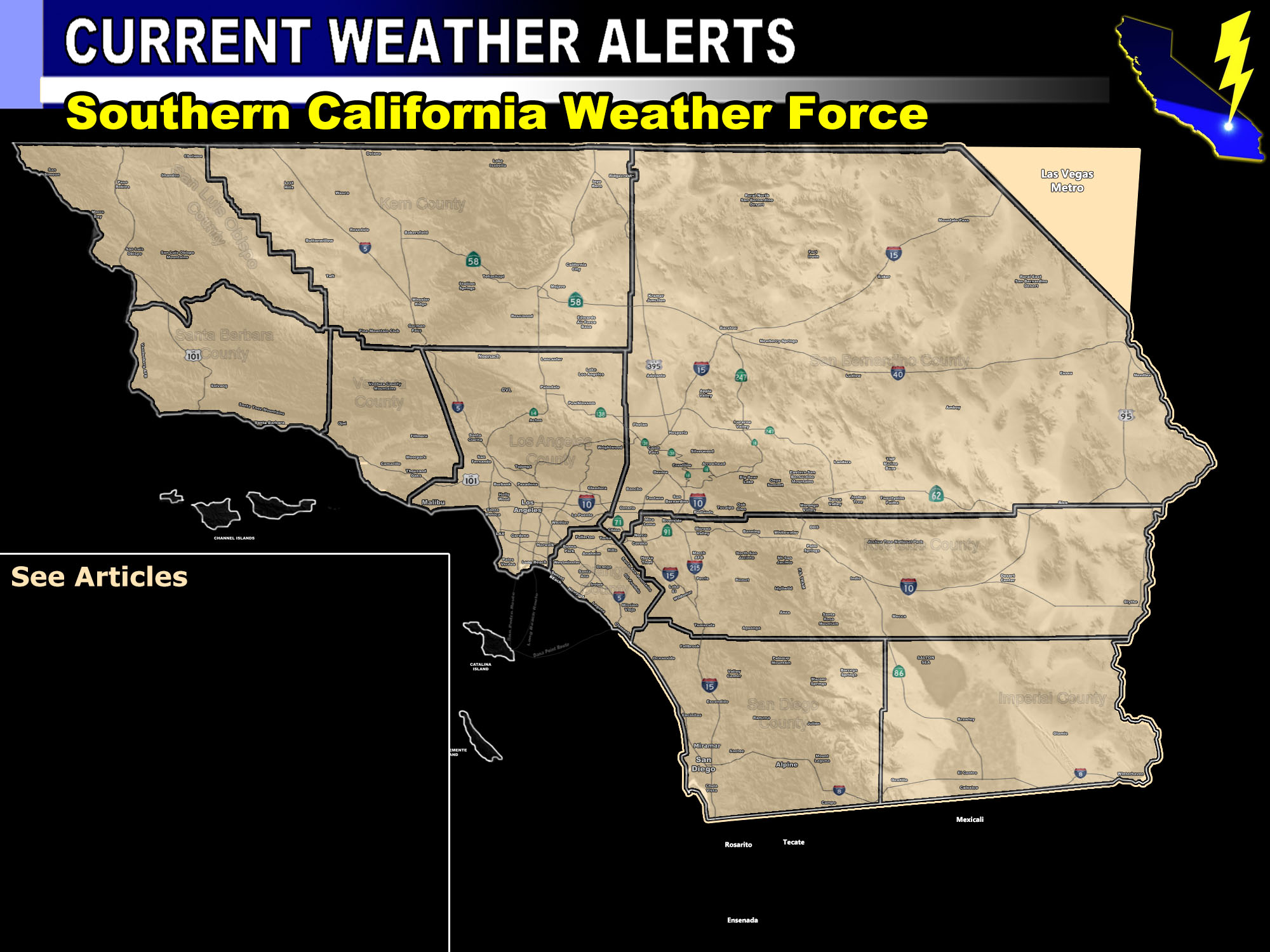

Issued Zones: San Diego, Riverside, San Bernardino Mountains … Wrightwood … The High Desert … Riverside Deserts … San Diego Deserts … The far northeast/east Inland Empire from Hemet/Banning/Yucaipa/San Bernardino near the mountains …
Site: Southern California Weather Force has issued a Thunderstorm Watch effective now through the evening …
Date: 7/8/18 at 9:00am PT
Forecast: Continued wide upper divergence on the southwest side of the monsoon ridge is keeping the mid/upper flow out of the southeast. This should continue to produce thunderstorm activity across the watch area today. Unlike yesterday, the test will fall on who gets what in the thunderstorm forecast model.
Current thinking is that the San Diego / Riverside / San Bernardino Mountains will go up with the Wrightwood area … then the southeast to northwest flow will take them into the High Desert area, along with the Riverside Mountain storms sending outflow into the Hemet/Banning/Yucaipa/SBD areas for storm activity there.
Later on, convergence will head on over into the desert areas as the onshore flow starts up, finishing off the thunderstorm watch.

PREMIUM MEMBERS – Click here to check out what is updated today in the SCWF member area …
Join A Micro-Climate Group On Facebook For These Alerts – Click Here To Find Your Location Served By SCWF Today!
10 mile rule: These alerts issued on this site means that within your zone and 10 miles from you will see the event forecast for. You may or may not see the event but it means you are in the zone or 10 miles from where someone will.
Forecaster: KM
