
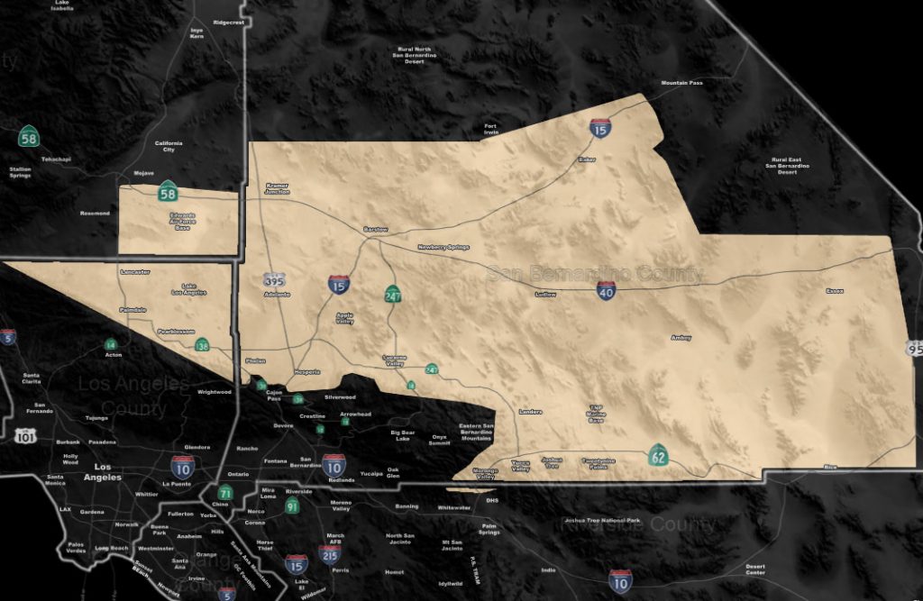
Issued Zones: Los Angeles Desert … Metro High Desert to the Morongo Basin …
Site: Southern California Weather Force has issued a Fire Weather Watch effective now through this evening …
Date: 4/28/19 at 10:45 am PT
Forecast: The upper divergence zone of the cutoff low system will swing into the area this afternoon and evening. This will briefly increase the wind gusts in the entire watch area. This will be an odd one because it isn’t too bad out there right now in terms of wind gusts, however for a brief 1-2 hour period this later afternoon/evening you will see a strong increase in them… followed by a fast decrease.
This is due to the spiral arm moving through. Because the surface is dry, for a two-hour wind as these winds are moving through, fire weather values have been exceeded thus this is also a Fire Weather Watch. IF convection can form in the far High Desert zones with this band, elevated bases would cause dry lightning so keep an eye on the cloud development with the passage of this spiral band …
EMAIL ALERTS: Get these to your e-mail by upgrading to a full member. It pays for itself in just ONE weather event: Click Here To Learn More
Additional Models: Visit the main site to see what was updated in terms of rain/snow/flood risk and more – Click Here
Join A Micro-Climate Group On Facebook For These Alerts – Click Here To Find Your Location Served By SCWF Today!
10-mile rule: These alerts issued on this site means that within your zone and 10 miles from you will see the event forecast for. You may or may not see the event but it means you are in the zone or 10 miles from where someone will.
Forecaster: KM