
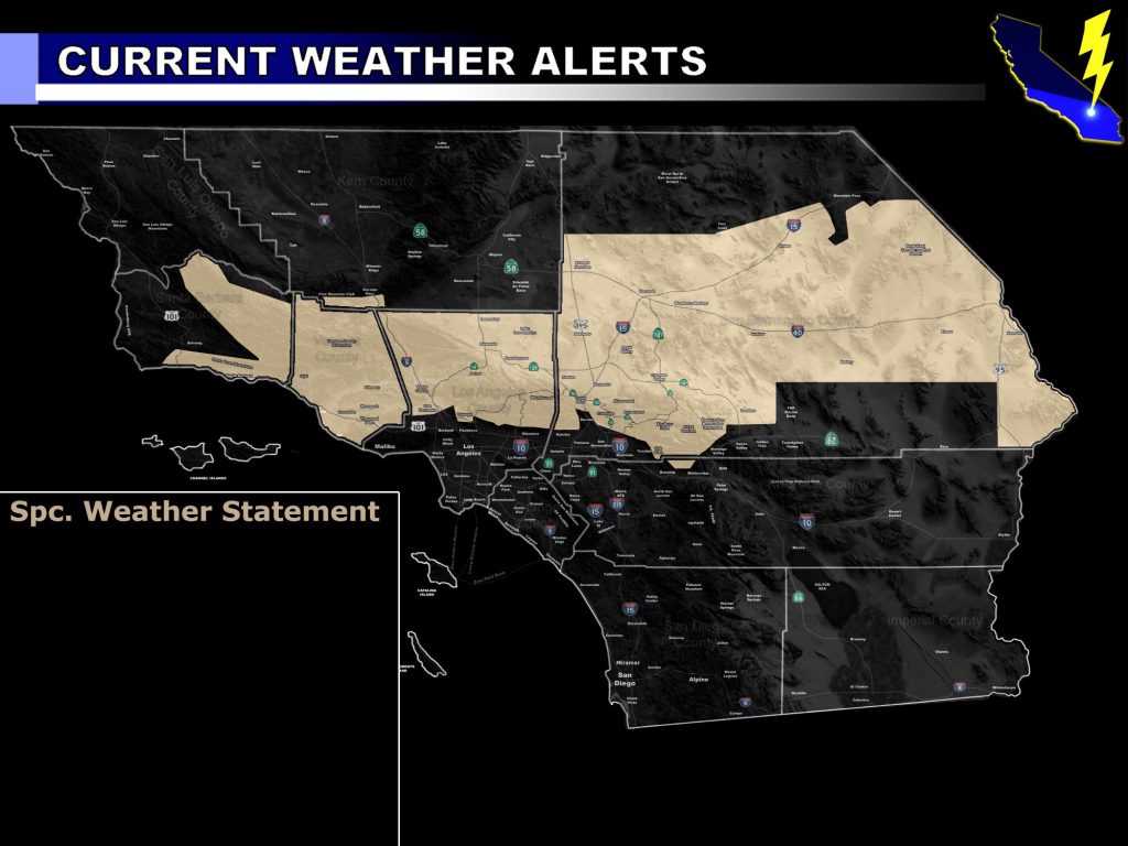
Issued Zones: Santa Barbara, Ventura, Los Angeles, and San Bernardino Mountains … LA Deserts … Metro High Desert … Ludlow to Needles Forecast Zones … excluding the Morongo Basin … Santa Clarita Valley … Ventura Basin/Coast … Santa Barbara Proper … The Cajon Pass Summit …
Site: Southern California Weather Force has issued a Special Weather Statement effective now for Monday for the risk of thunderstorms …
Date: 5/5/19 at 7:00pm PT
Forecast: A compact cutoff low will drop into the region overnight tonight in the San Luis Obispo County areas. This, by Monday morning after sunrise, will bring some mid-level instability with it. Immediately near the center of this upper level low will be a small, but potent area of upper divergence and lift. This will start in Santa Barbara and Ventura County, mainly the mountains.
The flow due to being so close to the center will make it likely these will travel southward on the west end of the upper level low into the metro basin and coastal zones of Santa Barbara proper and Ventura County. This will miss Vandenberg to the east so this statement is not for you.
Over the day this compact upper system will move eastward, bringing lift even across the Santa Clarita Valley zones, east still through the LA/SBD Mountain and Desert areas, including the Metro High Desert zones. It is likely that the entire Los Angeles County Mountain areas will light up with convection on your Monday with isolated activity near Big Bear.
This system will continue to pop off and on thunderstorm activity through Ludlow to the Needles forecast zones overnight on Monday into Tuesday … exiting California by sunrise Tuesday morning.
An upgraded alert is possible, however this Special Weather Statement alert wording will do for now and will serve as the forecast for your Monday in those zones.
EMAIL ALERTS: Get these to your e-mail by upgrading to a full member. It pays for itself in just ONE weather event: Click Here To Learn More
Additional Models: Visit the main site to see what was updated in terms of rain/snow/flood risk and more – Click Here
Join A Micro-Climate Group On Facebook For These Alerts – Click Here To Find Your Location Served By SCWF Today!
10 mile rule: These alerts issued on this site means that within your zone and 10 miles from you will see the event forecast for. You may or may not see the event but it means you are in the zone or 10 miles from where someone will.
Forecaster: KM