
Now while my forecast for this month was below normal rainfall with below normal temperatures, that does not mean we won’t see some above normal temperatures for at least 5 days of this month and it will come at an unusual time so read on for details.
So far so good in that January 2020 is remaining with not much storm activity to up that official Downtown Los Angeles total, which stands near 7″ at the moment. In the video released in October of last year, I explained that this season would have mostly below normal temperatures and have at least 9 to 13″ of rainfall. This means we would still have a below normal season. Up until this point we have seen my forecast come true with low elevation snow events and colder than normal days. Up until this point we also were trending above average for each month. Traditionally January and February are Southern California’s most active months for rainfall.
Join Southern California Weather Force main Facebook Page for future updates!
MICRO-CLIMATE ALERT FACEBOOK GROUPS: Find yours today!
Click here to join
If this month changes from my forecast (very very unlikely) then it is game over for me and we will go above my 13″ plateau. Having this month have very little rain in Downtown Los Angeles would bring us to below average for the season up until February. Whatever February does will also solidify what the season will do. At this point I see a average t o below average February, having more storms than this January will have had. We could actually end up with slightly above average rainfall in the High Desert due to the north to south storm track. Temperatures for March or April will have yet another arctic dive so I’ll be waiting for that one.
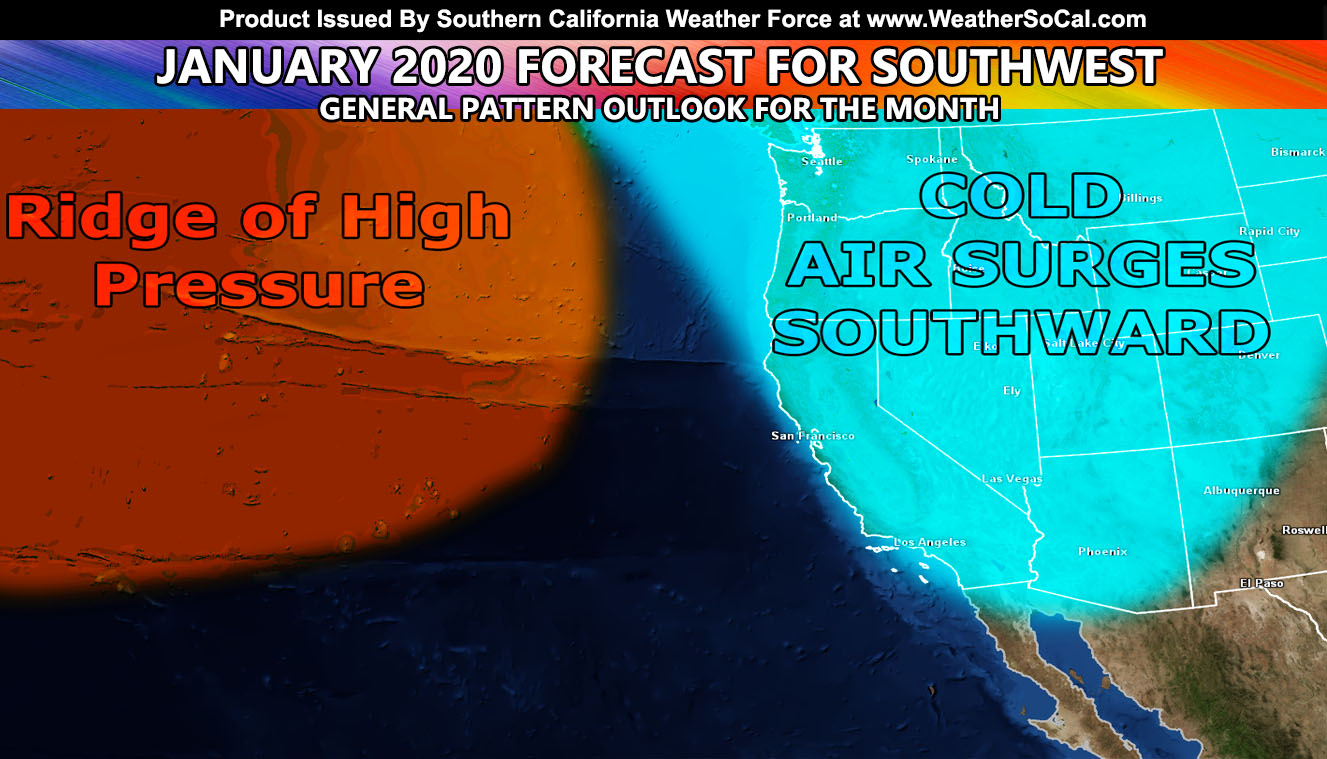
Medium range holds an interesting component. Somewhat of a ridge in the area and a diving upper low would bring offshore flow sometime between the 22nd and 27th of this month. This means that very similar to the beginning of the month, we will have temperatures in the populated zones back up, which for January would be considered above average. Usually at that time we see storm systems … but as I stated before, it is an odd pattern but not unheard of. I rather keep my forecast correct for the season than get slammed with storm after storm this month through April. This same ridge will be monitored as ridges like this do bring impulses down out of the north and again … things like this can produce precipitation one of those days with a cutoff.
As for the near-term. Someone commented that they heard on a local news station that an Atmospheric River is coming this next weekend. I laughed hard … however give a stern warning. Those who comment anything I have not said yet will have it hidden from view and I’ll answer it but only you and I will be able to see it. That kind of stuff does not belong at Southern California Weather Force. You have seen I can take care of the weather and I do an excellent job at lead-time for any medium or long range pattern to come. That is why when my long range comes true, it is called a Martin Storm Pattern. Similar to the discovery of a comet, my discoveries of weather patterns that are upcoming will bear my name. Things that not even the strongest weather model (out to 10 days) can see. My long range has been a full month out in seeing a certain pattern and if you have been following me this season you will know my long range is impeccable. And as you know, I am extremely fair and brutally honest. I’ll take care of the weather in this region, leave the news or government off the comment section as they mean nothing compared to here.
We however will have a dying frontal zone sweeping the area overnight on Wednesday into Thursday. This type of front is nominal for the Southland where Vandenberg gets more rain than Los Angeles/OC/SD/IE and a front that weakens as it comes eastward. I’ll post about it as it gets closer, but other than that there isn’t a large storm in the medium term.
Don’t fire until you see the whites of their eyes. Don’t react to a situation too early. This saying comes from an order allegedly given by American officer William Prescott at the Battle of Bunker Hill in the American Revolutionary War. This is something I live by when forecasting your weather. That news station in Los Angeles jumped too soon on something seen so far away that can easily change. With no professional background in long range they worry about being first to call something but in doing so they are first to fail at it as well. When I see a weather event in confidence, I will post. You can wait for that post on your Facebook or you can become a premium member at either that android/IOS notification app or the e-mail alert system, which can be found by Clicking Here.
MICRO-CLIMATE ALERT FACEBOOK GROUPS: Find yours today!
Click here to join
As always, stay tuned to official forecasts from Southern California Weather Force for updates …
For The Main Weather Facebook Page Click Here and Join.
End Article
FACEBOOK PAGES TO JOIN!
SOUTHERN CALIFORNIA WEATHER FORCE MAIN: Southern California Weather Force Office Main Page
BEHIND THE SCENES FORECASTS/UPDATE PAGE: Southern California Weather Force Meteorologist Page
FOR THE CALIFORNIA FAULT STRESS MODEL PAGE: For SCWF official updates to the California Fault Stress Model and more!
“PONDER THIS” SCIENCE ADVENTURE SHOW: A science adventure show developed here at Southern California Weather Force that is a fun ride!
INSTAGRAM AND TWITTER ACCOUNTS TO JOIN!
Instagram – https://www.instagram.com/socalweatherforce/
Twitter – https://twitter.com/SCweatherforce