
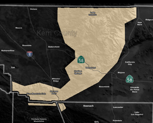
Issued Zones: Kern County Mountains … Gorman Pass …
Site: Southern California Weather Force has issued a Special Weather Statement effective now for Thursday …
Date: 1/13/20 at 9:55am PT
Forecast: A cold-front will move through on Thursday. This cold front will be the tail-end charlie of a weather system that will affect Central/Northern California more than the Kern Mountain zones.
This front will drop the snow-level along it to 4,000 FT so areas in Tehachapi and even the I-5 corridor (Gorman) areas will receive snowfall …
It is not expected to be a major event, however it should hit quick and leave quick … escorts are possible on the Gorman Pass with this on Thursday. Upgraded advisories will be issued ahead of the front, along with the snowfall total model …
How to get these alerts with a premium subscription? (100 percent delivery time)
Click Here For Options
Join A Micro-Climate Group On Facebook For These Alerts? (50 percent delivery time)
Click Here To Find Your Location Served By SCWF Today!
NOTE: If you read this from a SCWF micro-climate Facebook Group, keep in mind that forecast ARTICLES are NOT posted there unless it directly affects you. You will want to go to the MAIN SCWF Facebook Page and to go there you CLICK HERE.
10 mile rule: These alerts issued on this site means that within your zone and 10 miles from you will see the event forecast for. You may or may not see the event but it means you are in the zone or 10 miles from where someone will.
Forecaster: KM