
Arizona Weather Force has issued a Severe Thunderstorm Watch effective now through Sunday for numerous thunderstorms, flooding in spots, damaging winds, and hail. This forecast directly comes after the prediction I made on August 19th of a surge of monsoonal moisture by end month into September so read on for details on that call and the alert issued …
Back on August 19th I released an article outlining a surge toward end month across the Desert Southwest. This surge is arriving today/tonight and will last a couple days thereafter. The article can be seen by Clicking Here
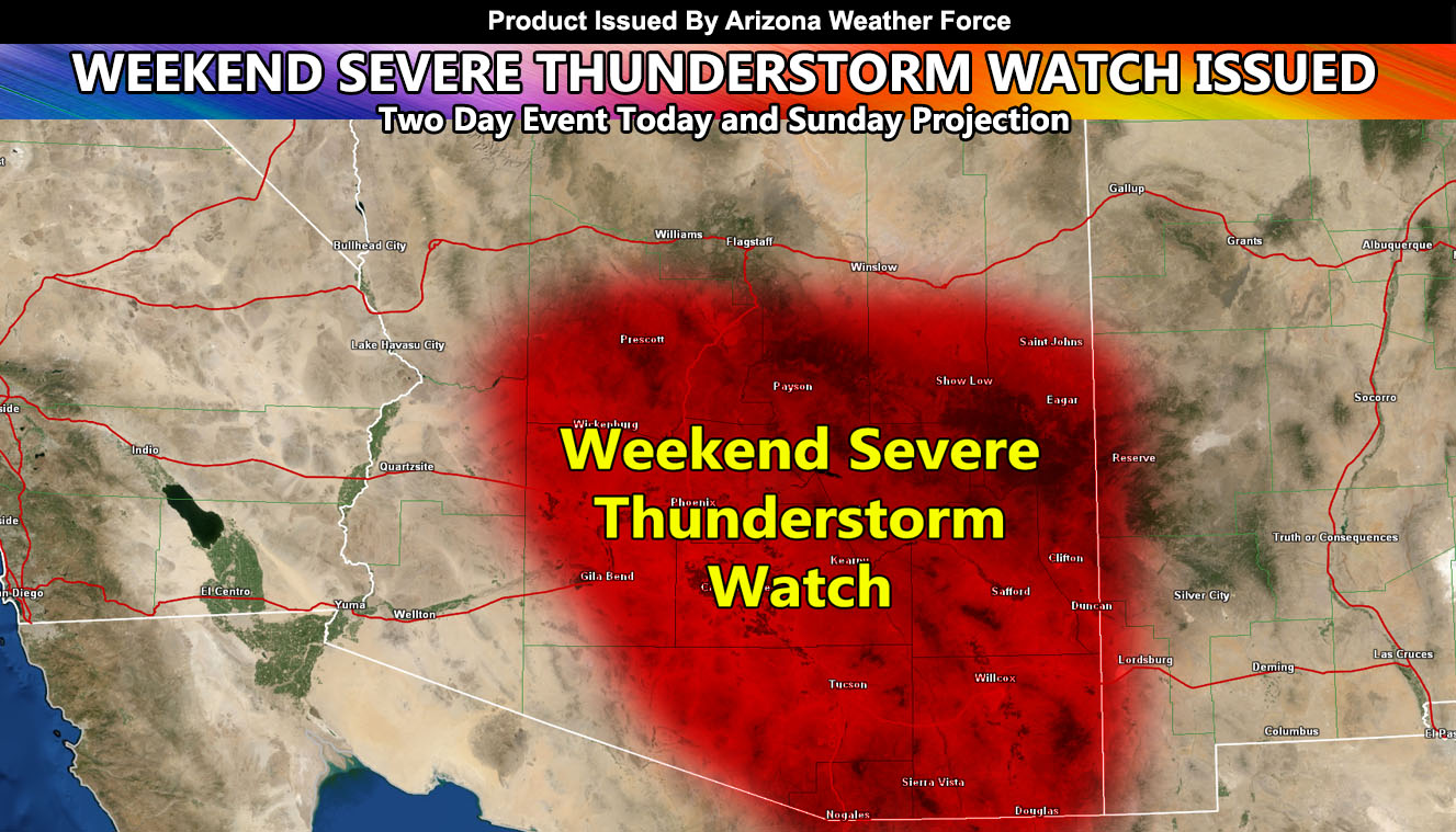
So with that being said, the update to that is the official Arizona Weather Force Severe Thunderstorm Watch, which is in place through the weekend, with chances of an extension into Monday. Storms capable of flooding, damaging winds, hail, and in some spots a dust storm will be likely through this period, which includes the Phoenix and Tucson Metro areas. Outflow boundaries from storms will continue to bounce around all weekend and spark thunderstorms just about anywhere in or around the watch area. Storms will be more numerous for Flagstaff on your Sunday with a gulf surge.
Stay tuned to official forecasts here at Arizona Weather Force
As you know, just as Southern California Weather Force has a service for members with micro-climate alerts, Arizona Weather Force does as well and we do have some people already signed up getting those so it is seeming like it is helping. The service helps businesses and persons, especially with ranches. Click Here to read about it and even join.
NOTE: This is the SCWF Website but it is being used for national updates until ad placement is ready on the AZWF site.
Your Facebook Page to join for this update is linked here – https://www.facebook.com/ArizonaWeatherForce