
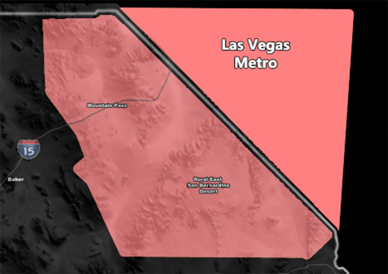
Issued Zones: CA/NV Stateline … Las Vegas Metro …
Site: Southern California Weather Force has issued an Enhanced Severe Thunderstorm Watch effective this evening and into the night …
Date Issued: 7/29/22 at 12:30pm local
Forecast: Severe Thunderstorms are expected to form at the CA/NV Stateline this afternoon and as such this watch starts there due to travel. Another round out of the north will be this evening/night …
A ridge of high pressure centered over Northwestern Nevada today will bring a strong northeast flow from Southwestern Utah. Severe Thunderstorms will form there, and with a fast flow of over 25 mph, these storms will move down I-15 and hit Las Vegas out of the north. A secondary area will form northwest of the metro over Pahrump and while you are not in the forecast area, you will also be hit.
This scenario was seen last year and then again the last two days as well and wind gusts with it will be well over 50+ mph, maybe even higher than 70mph, along with marginally severe hail and torrential downpours that lead to flash flooding. There is a strong likelihood of a light show with this.
Join the Facebook Page for Further Updates If You Have Not Yet!
SOUTHERN CALIFORNIA WEATHER FORCE MAIN:
Remember, I have the community email alert system this season for members that was paid for with the GFM campaign. A lot was raised to keep it free this season so go ahead of sign-up at this link – https://www.southerncaliforniaweatherforce.com/wishlist-member/?reg=1598803577
If that does not work, go to the main SCWF website and hit ‘Become A Member’ in the menu and sign-up that way. It MIGHT save your life one day …
Join The Main Southern California Weather Force Facebook Group (50 percent delivery time) – You can join the main SCWF page as well through that group.
Click Here To Join The Page Today
10 mile rule: These alerts issued on this site means that within your zone and 10 miles from you will see the event forecast for. You may or may not see the event but it means you are in the zone or 10 miles from where someone will.
Southern California Weather Force is a custom weather alert service that began in September 1999 off and is regarded as the most accurate weather service in the region, offering custom alerts, maps, and models to help save life and property. The work done here is never 100% accurate, but it comes pretty close. Southern California Weather Force runs on zones, so if an event happens in a zone that is 10 miles from the border of your zone, the forecast is still valid to activate your zone’s alert system. A company quote to the public is that of “The Joker” and tells other agencies in weather this all the time… “This world deserves a better class of meteorologist… and I’m gonna give it to them”… out-forecasting even the National Weather Service with lead-time and precision, which makes this service a focus of ridicule and envy in the weather community due to having such accuracy. Alerts issued here are issued custom from this office and this office alone. You may not even hear it elsewhere, but if one is issued near or in your area, listen up because “if you do not wish to die in weather, follow, it’ll save your life one day.”