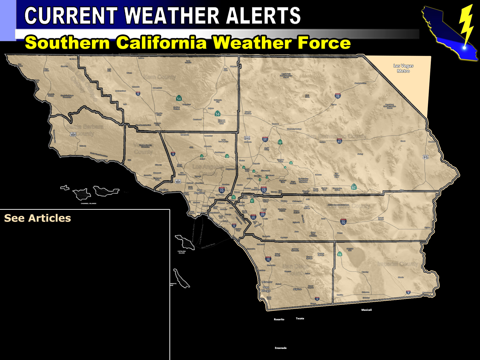

Issued Zones: The Inland Empire … SFV/SCV … Ventura Coast/Basin … Orange County Basin/Foothills/Mountains … Rim of the SBD Mountains … Riverside Mountains … Tehachapi Mountains … Morongo Basin and Colorado River Valley … San Diego Valley/Foothill/Mountain zones …
Site: Southern California Weather Force has issued a Santa Ana Wind Watch …
Date: 2/9/18 at 7:45am PT
When: Saturday evening through Sunday noon …
Forecast: A storm system missing us to the northeast will generate a strong, but quick hitting round of Santa Ana Winds.
The winds are expected to arrive on Saturday evening and strengthen through the night and into Sunday morning.
Upper support doesn’t look too great with this one so we’ll keep them in the nominal zones.
Have added the Morongo Basin in this will since the northerly winds like this do produce 30+ mph wind gusts there. The winds will subside over the day on Sunday.
This is also a Fire Weather Watch.
These are being generated by the same jet stream that will tilt in favor to bring the storm system I am still monitoring … into our area this next week.
Delays or diversions are possible at Ontario International Airport … especially early Sunday morning departures and Saturday night arrivals.
PREMIUM MEMBERS – Click here to check out what is updated today in the SCWF member area …
Join A Micro-Climate Group On Facebook For These Alerts – Click Here To Find Your Location Served By SCWF Today!
10 mile rule: These alerts issued on this site means that within your zone and 10 miles from you will see the event forecast for. You may or may not see the event but it means you are in the zone or 10 miles from where someone will.
Forecaster: KM
