
[vc_row][vc_column width=”1/1″][vc_column_text]
[/vc_column_text][vc_column_text]
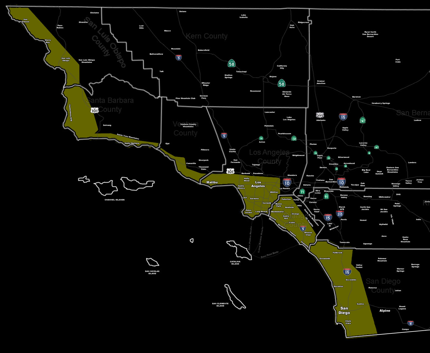
Issued Zones: All Coastal zones and up to 10 miles inland …
Site: SouthernCaliforniaWeatherForce.com has issued a Severe Weather Statement concerning severe storm potential …
Date: 1/4/16 at 8:35am PT
Forecast: A powerful storm system will move through the region on Tuesday, bringing flood rains, strong winds, and hazardous conditions for the statement zone.
The area is already in the SCWF Flood Watch product, however this alert is to outline convective potential with the front. This front will have the backing low level shear and instability to create a scenario for isolated tornadoes, starting as waterspouts mainly and coming inland a bit … maybe even developing some inland.
Regardless, the statement area will need to be monitored for further updates on the isolated tornado potential through Tuesday. Activity will maximize over the OC forecast area.
10 mile rule: These alerts issued on this site means that within your zone and 10 miles from you will see the event forecast for. You may or may not see the event but it means you are in the zone or 10 miles from where someone will.
Forecaster: KM
[/vc_column_text][/vc_column][/vc_row][vc_row][vc_column width=”1/1″][vc_column_text] If this doesn\’t say “you like this” below then click the LIKE button if you thought this was good information! This helps spread the word by just ONE LIKE … Do it every time if you enjoy these … Thanks for helping! [/vc_column_text][vc_facebook type=”button_count”][/vc_column][/vc_row][vc_row][vc_column width=”1/1″][/vc_column][/vc_row]