
[vc_row][vc_column][vc_column_text]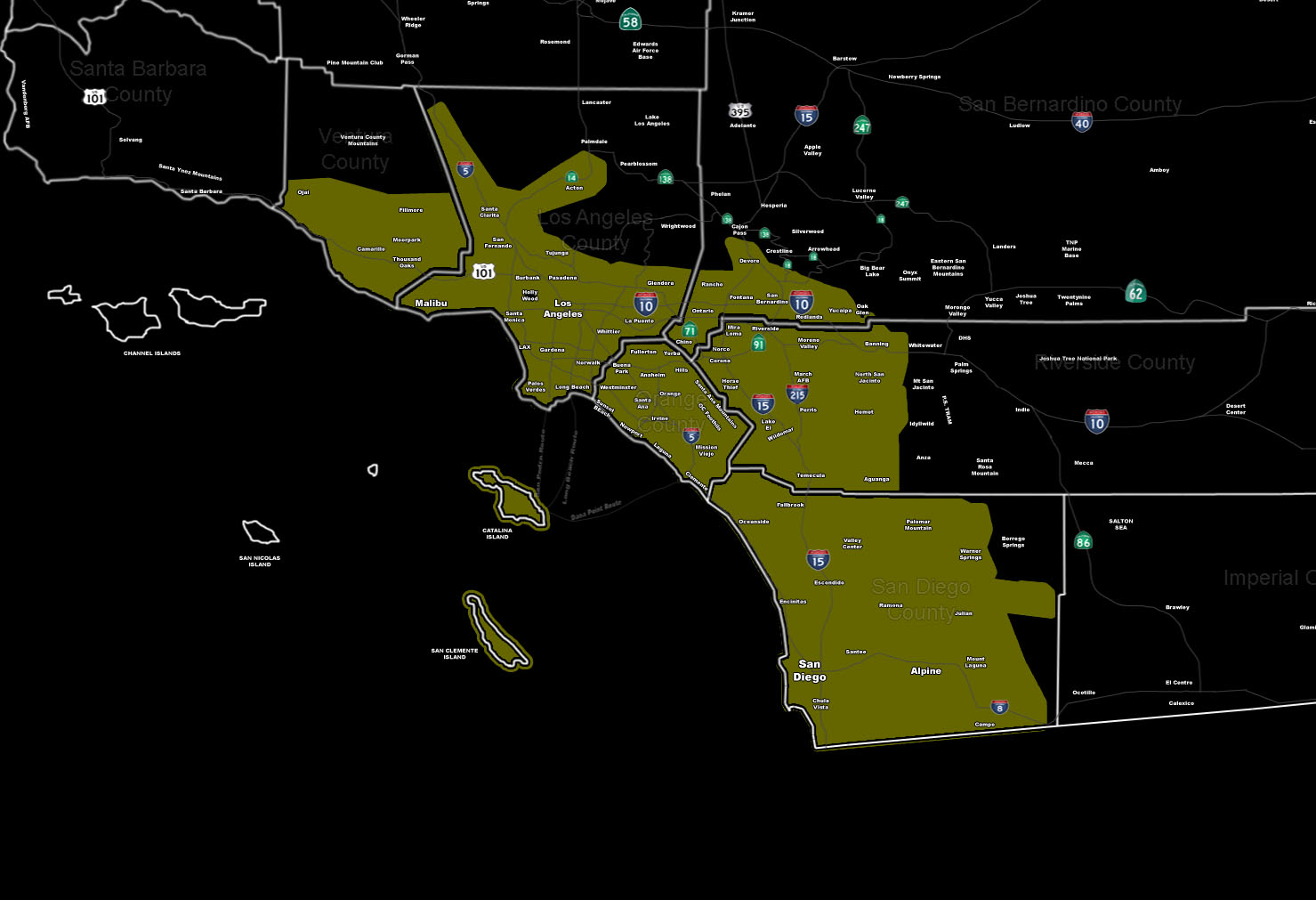
[/vc_column_text][vc_column_text]Issued Zones: Metro and Coast of VT/LA/OC/SD … The Inland Empire …
Site: SouthernCaliforniaWeatherForce.com has issued a Severe Weather Statement effective now for Sunday, concerning the risk of severe thunderstorm and tornado dynamics.
Date: 1/30/16 at 3:10pm PT
Forecast: A very powerful storm system will reach the forecast area on Sunday, bringing a very strong front through. At the surface, a surface low crossing the bight will bring in the northerly flow out from the deserts and a southeasterly flow in the metro/coastal areas.
This low level spin will work to bring shear into the area and this plus instability will bring the risk of tornadoes yet again this month. Instability is stronger in the OC/SD areas with marginal in the IE/LA/VT areas.
All areas of the forecast area within this advisory have the risk of severe winds, thunder, isolated tornadoes, and flooding.
An upgrade to a severe thunderstorm or tornado watch will be made by Sunday morning if the need arises. This watch is the step before such a decision and as with the tornadic storms earlier this month … the decision will be made based off our models and scientific facts as that system did have tornadoes … as I did forecast.
10 mile rule: These alerts issued on this site means that within your zone and 10 miles from you will see the event forecast for. You may or may not see the event but it means you are in the zone or 10 miles from where someone will.
Forecaster: KM[/vc_column_text][/vc_column][/vc_row][vc_row][vc_column][vc_column_text]
If this doesn\’t say “you like this” below then click the LIKE button if you thought this was good information! This helps spread the word by just ONE LIKE … Do it every time if you enjoy these … Thanks for helping!
[/vc_column_text][vc_facebook type=”button_count”][/vc_column][/vc_row][vc_row][vc_column][/vc_column][/vc_row]