
[vc_row][vc_column][vc_column_text]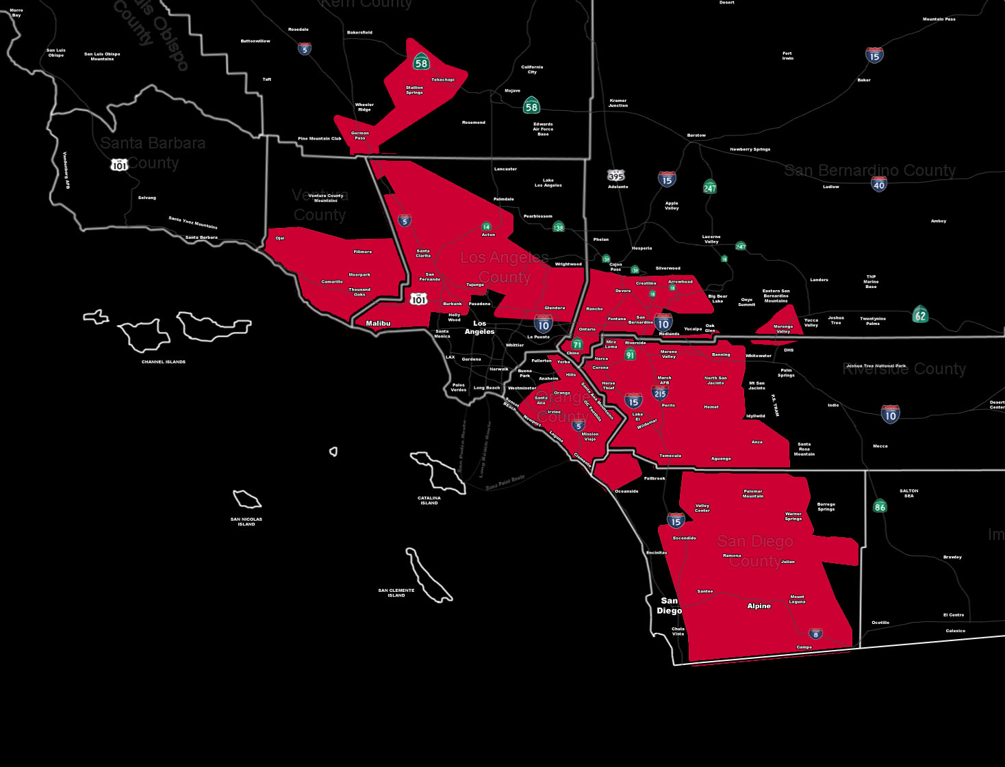
[/vc_column_text][vc_column_text]Issued Zones: Below Pass and Canyon Regions …
Site: SouthernCaliforniaWeatherForce.com has issued Upgraded To A Santa Ana Wind Warning effective now …
Date: 2/7/16 at 4:25am PT
Forecast: This upgrade from the Santa Ana Wind Watch is now official that will last through Tuesday and start today.
Already, winds are affecting below passes and canyons and have been for a few days now … but the warning level conditions with fire+damaging wind potential increases today and lasts through the early part of this next week.
Gusts between 30-50 mph will be likely in all areas within the warning, with gusts over 60-80 mph in the prone pass and canyon regions.
Fremont Canyon in the Santa Ana Mountains may reach 90-100 mph during this period.
Blowing Sand and Dust will be likely … any high profile vehicles traveling the warning zones will need to take it easy or change routes.
10 mile rule: These alerts issued on this site means that within your zone and 10 miles from you will see the event forecast for. You may or may not see the event but it means you are in the zone or 10 miles from where someone will.
Forecaster: KM[/vc_column_text][/vc_column][/vc_row][vc_row][vc_column][vc_column_text]
If this doesn\’t say “you like this” below then click the LIKE button if you thought this was good information! This helps spread the word by just ONE LIKE … Do it every time if you enjoy these … Thanks for helping!
[/vc_column_text][vc_facebook type=”button_count”][/vc_column][/vc_row][vc_row][vc_column][/vc_column][/vc_row]