
[vc_row][vc_column][vc_column_text]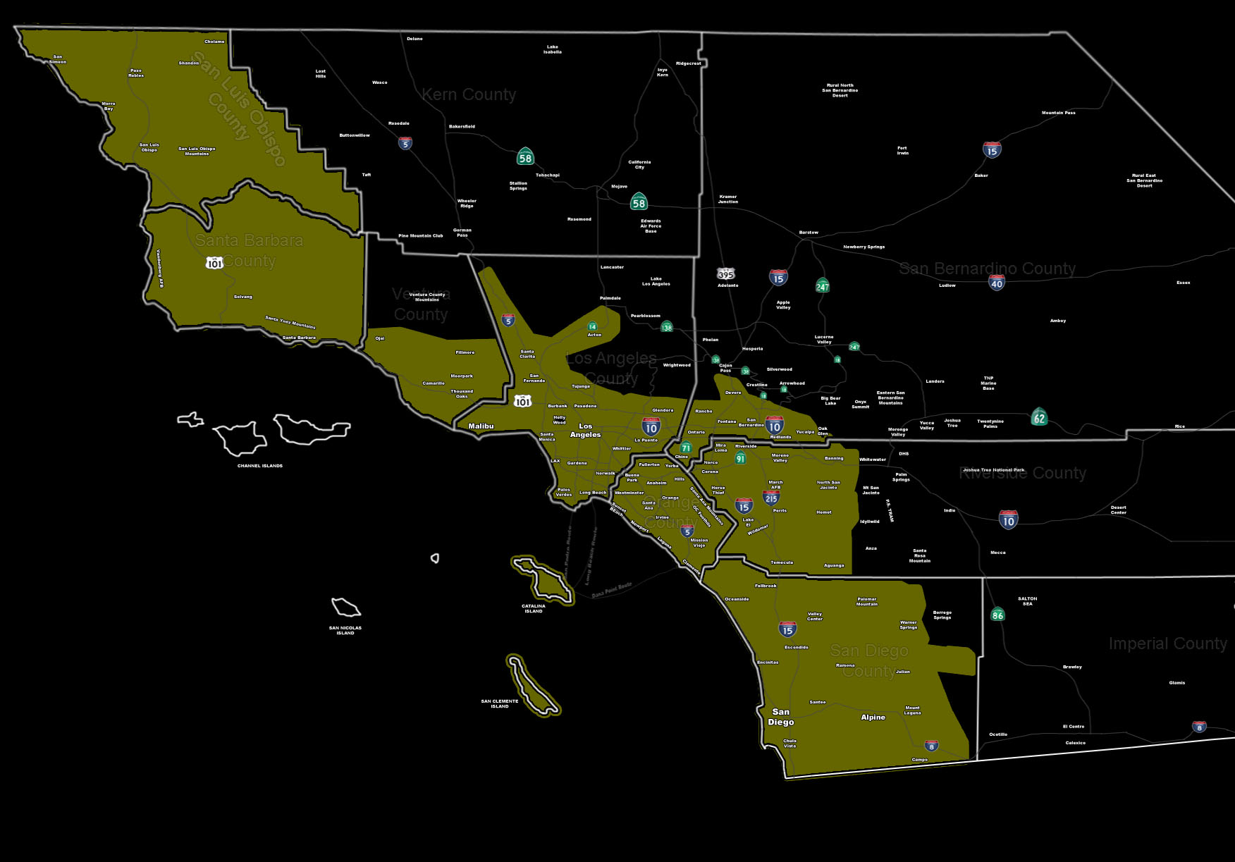
[/vc_column_text][vc_column_text]Issued Zones: All Metro Areas South/West of the Mountains …
Site: SouthernCaliforniaWeatherForce.com has issued a Severe Weather Statement effective now …
Date: 3/5/16 at 1:15pm PT
Forecast: A weaker front will move through over the next 24 hours from west to east … and contain passing showers, sometimes heavy. However this statement is not for this and will be for the severity of the second system overnight Sunday for the SLO/SBA areas and moving through Monday morning for the VT/LA/OC/IE/SD forecast zones.
This secondary system is more potent and the fast moving front indicates the very good risk of damaging winds along it … with thunderstorms being likely.
Shear potential is not as strong for a greater tornado risk at the moment but it will be watched. The orientation and speed of this front will probably bring our Severe Thunderstorm Watch product out … rather than the Tornado Watch … but it is being watched.
If in the Severe Weather Statement shading zone, additional upgrades will be possible on Sunday evening between 8pm-10pm … but if it can be sooner it will be.
Fronts like this can bring damaging winds that could topple trees in the loose soil …
10 mile rule: These alerts issued on this site means that within your zone and 10 miles from you will see the event forecast for. You may or may not see the event but it means you are in the zone or 10 miles from where someone will.
Forecaster: KM[/vc_column_text][/vc_column][/vc_row][vc_row][vc_column][vc_column_text]
If this doesn\’t say “you like this” below then click the LIKE button if you thought this was good information! This helps spread the word by just ONE LIKE … Do it every time if you enjoy these … Thanks for helping!
[/vc_column_text][vc_facebook type=”button_count”][/vc_column][/vc_row][vc_row][vc_column][/vc_column][/vc_row]