
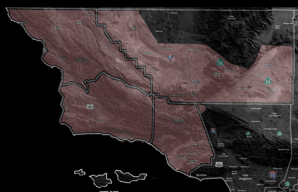

Issued Zones: Santa Barbara, San Luis Obispo, Kern, and Ventura County …
Site: Southern California Weather Force has issued a Thunderstorm Watch effective now for Thursday with SLO/SBA Early Morning and the rest of the morning for Kern/Ventura …
Date: 1/30/19 at 3:10pm PT
Forecast: The Martin Storm Diamond has been activated and the center of the upper system (Pacific Storm URSULA C3) will pass the northern part, putting a large part of metro Southern California within the thunderstorm risk zone, some areas seeing numerous lightning strikes and some isolated.
The Martin Storm Diamond is a diamond-shaped area offshore that I discovered does, in fact, give the best chance of widespread thunderstorms to our region if instability is present, which it will be.
Given what I see the most rain and thunderstorm activity will remain from Santa Barbara to Ventura County with isolated amounts in Kern County, but will keep you within the thunderstorm watch product.
There is also a risk of waterspouts to weak tornadoes at the coast of Santa Barbara and Ventura County. Other than that.. the system is not much of an ‘far inland’ tornado producer.
This will replace parts of the Flood Advisory product issued earlier
PREMIUM MEMBERS – Click here to check out what is updated today in the SCWF member area …
Join A Micro-Climate Group On Facebook For These Alerts – Click Here To Find Your Location Served By SCWF Today!
10 mile rule: These alerts issued on this site means that within your zone and 10 miles from you will see the event forecast for. You may or may not see the event but it means you are in the zone or 10 miles from where someone will.
Forecaster: KM