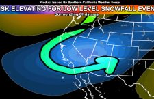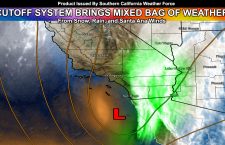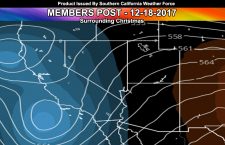
Member Only Post: Upcoming Pattern Swing Through Christmas
This is a member only post. Many of you are members but this is sort of like getting the inside scoop on what I am currently thinking that I am not ready to put in the public eye at the time. Read on for details … The cool-down is coming as expected, however trends are going the way of the […]
Read more ›