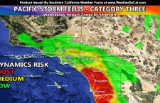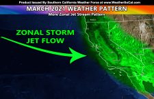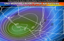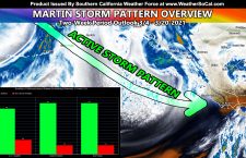
Southern California Storm Pattern Within Two Week Window Elevated Across The Board; Martin Storm Pattern Tightening
The Martin Storm Pattern for March 2021 looks intact at the moment for a storm pattern to develop within the two-week period starting now. An in-office model developed for such is indicating a high percentage chance vs not for a storm pattern to cross Southern California between 3/4 and 3/20, including mountain pass and low elevation snowfall events so read […]
Read more ›